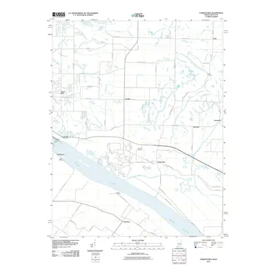
2010 Map of Yankeetown
USGS Topo · Published 2010About this map
Yankeetown and the surrounding riverfront of Warrick County anchor this 2010 survey along the wide bend of the Ohio River. The landscape is a complex network of agricultural drainage and natural waterways, where Cypress Creek and Little Pigeon Creek meet an extensive system of engineered channels like Taylor Ditch and Mitchem Ditch. This era shows the established rural character of the region, punctuated by small settlements and family-named landmarks.
Find a feature on this map
73 named features on this map. Tap any name to fly to it.
Don’t see what you’re looking for? This feature index may not catch every label — zoom into the map to look around manually.
Map Details
Editions of this 2010 Yankeetown Map
This is the sole edition of this map. No revisions or reprints were ever made.
Other maps of this area

1900 · De Gonia Springs
USGS Topo · 1:62,500

1901 · Owensboro
USGS Topo · 1:62,500

1902 · Ditney
USGS Topo · 1:125,000

1902 · Degonia Springs
USGS Topo · 1:62,500

1902 · Boonville
USGS Topo · 1:62,500

1905 · Newburg
USGS Topo · 1:62,500

1951 · Yankeetown
USGS Topo · 1:24,000

1951 · Spottsville
USGS Topo · 1:24,000

1952 · Owensboro West
USGS Topo · 1:24,000

1952 · Newburgh
USGS Topo · 1:24,000