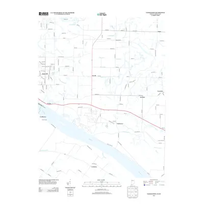
2013 Map of Yankeetown
USGS Topo · Published 2013About this map
Yankeetown and its surrounding riverfront settlements define this stretch of the Ohio River as it appeared in the early 21st century. The landscape is heavily marked by water management, with a complex network of artificial drainages including Taylor Ditch, Kaiser Ditch, and the Summer Pecka Ditch branching off from natural water bodies like Little Pigeon Cr. Local aviation and river commerce are represented by Cornell Airport and Vanada Landing, reflecting the dual importance of air and water transport in this region of Indiana and Kentucky.
Find a feature on this map
118 named features on this map. Tap any name to fly to it.
Don’t see what you’re looking for? This feature index may not catch every label — zoom into the map to look around manually.
Map Details
Editions of this 2013 Yankeetown Map
This is the sole edition of this map. No revisions or reprints were ever made.
Other maps of this area

1900 · De Gonia Springs
USGS Topo · 1:62,500

1901 · Owensboro
USGS Topo · 1:62,500

1902 · Ditney
USGS Topo · 1:125,000

1902 · Degonia Springs
USGS Topo · 1:62,500

1902 · Boonville
USGS Topo · 1:62,500

1905 · Newburg
USGS Topo · 1:62,500

1951 · Yankeetown
USGS Topo · 1:24,000

1951 · Spottsville
USGS Topo · 1:24,000

1952 · Owensboro West
USGS Topo · 1:24,000

1952 · Newburgh
USGS Topo · 1:24,000