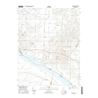
2016 Map of Yankeetown
USGS Topo · Published 2016About this map
The Ohio River forms a dynamic southern border for this riverfront landscape, where Indiana and Kentucky meet along a complex network of backwaters and drainage systems. The terrain is defined by engineered waterways such as Taylor Ditch, Kaiser Ditch, and Summer Pecka Ditch, which crisscross the lowlands between Newburgh and Yankeetown. These drainage projects reflect a long history of managing the fertile but flood-prone bottomlands near the Little Pigeon Creek and Griffith Slough Ditch.
Find a feature on this map
115 named features on this map. Tap any name to fly to it.
Don’t see what you’re looking for? This feature index may not catch every label — zoom into the map to look around manually.
Map Details
Editions of this 2016 Yankeetown Map
This is the sole edition of this map. No revisions or reprints were ever made.
Other maps of this area

1900 · De Gonia Springs
USGS Topo · 1:62,500

1901 · Owensboro
USGS Topo · 1:62,500

1902 · Ditney
USGS Topo · 1:125,000

1902 · Degonia Springs
USGS Topo · 1:62,500

1902 · Boonville
USGS Topo · 1:62,500

1905 · Newburg
USGS Topo · 1:62,500

1951 · Yankeetown
USGS Topo · 1:24,000

1951 · Spottsville
USGS Topo · 1:24,000

1952 · Owensboro West
USGS Topo · 1:24,000

1952 · Newburgh
USGS Topo · 1:24,000