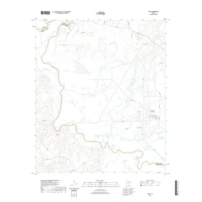
2019 Map of Yard
USGS Topo · Published 2019About this map
The Trinity River snakes through the bottomlands of the Anderson and Freestone county line, defining a landscape of extensive wetlands and oxbow lakes. This 2019 survey documents a terrain dominated by water and low-lying drainage, where Catfish Creek and Tehuacana Cr feed into a network of named basins including Patterson Lake, Weed Lake, and Allen Lake. The presence of several family-named burial grounds, such as Jackson Cem, Edwards Cem, and Tyus Cem, offers a point of interest for genealogists tracing local families in this rural corridor.
Find a feature on this map
51 named features on this map. Tap any name to fly to it.
Don’t see what you’re looking for? This feature index may not catch every label — zoom into the map to look around manually.
Map Details
Editions of this 2019 Yard Map
This is the sole edition of this map. No revisions or reprints were ever made.
Other maps of this area

1919 · Fairfield
USGS Topo · 1:62,500

1949 · Tennessee Colony
USGS Topo · 1:62,500

1950 · Tennessee Colony
USGS Topo · 1:62,500

1953 · Palestine
USGS Topo · 1:250,000

1954 · Waco
USGS Topo · 1:250,000

1955 · Waco
USGS Topo · 1:250,000

1957 · Palestine
USGS Topo · 1:250,000

1960 · Roustabout Camp
USGS Topo · 1:24,000

1961 · Young
USGS Topo · 1:24,000

1964 · Long Lake
USGS Topo · 1:24,000