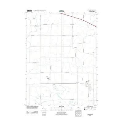
2012 Map of Yates City
USGS Topo · Published 2012About this map
Yates City serves as the primary hub of this eastern Knox County landscape, where the street grid is anchored by N Union St and W Maple St. The surrounding countryside is defined by the winding course of the Spoon River in the northwest, notable for the Wolf Covered Bridge. This area exhibits a dense concentration of small, family-named burial grounds that offer significant value for genealogical research, including Catterton Cem, Kightlinger Cem, and Summitt Douglas Cem near the settlement of Douglas.
Find a feature on this map
52 named features on this map. Tap any name to fly to it.
Don’t see what you’re looking for? This feature index may not catch every label — zoom into the map to look around manually.
Map Details
Editions of this 2012 Yates City Map
This is the sole edition of this map. No revisions or reprints were ever made.
Other maps of this area

1912 · Canton
USGS Topo · 1:62,500

1930 · Glasford
USGS Topo · 1:62,500

1941 · Maquon
USGS Topo · 1:62,500

1943 · Maquon
USGS Topo · 1:62,500

1944 · Elmwood
USGS Topo · 1:62,500

1948 · Elmwood
USGS Topo · 1:62,500

1948 · Glasford
USGS Topo · 1:62,500

1958 · Burlington
USGS Topo · 1:250,000

1958 · Peoria
USGS Topo · 1:250,000

1961 · Burlington
USGS Topo · 1:250,000