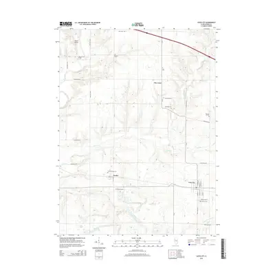
2015 Map of Yates City
USGS Topo · Published 2015About this map
The Spoon River meanders through the western portion of this landscape, a prominent natural feature that once necessitated the Wolf Covered Bridge to the north. This central Illinois region is characterized by a high density of rural burial grounds, including Catterton Cem, Elba Cem, and Pleasant Hill Cem, serving the scattered communities of Elba Center and Douglas. The township structure is defined by a rigorous grid of section roads like Knox Road 1100 N and CR 18.
Find a feature on this map
42 named features on this map. Tap any name to fly to it.
Don’t see what you’re looking for? This feature index may not catch every label — zoom into the map to look around manually.
Map Details
Editions of this 2015 Yates City Map
This is the sole edition of this map. No revisions or reprints were ever made.
Other maps of this area

1912 · Canton
USGS Topo · 1:62,500

1930 · Glasford
USGS Topo · 1:62,500

1941 · Maquon
USGS Topo · 1:62,500

1943 · Maquon
USGS Topo · 1:62,500

1944 · Elmwood
USGS Topo · 1:62,500

1948 · Elmwood
USGS Topo · 1:62,500

1948 · Glasford
USGS Topo · 1:62,500

1958 · Burlington
USGS Topo · 1:250,000

1958 · Peoria
USGS Topo · 1:250,000

1961 · Burlington
USGS Topo · 1:250,000