Loading...
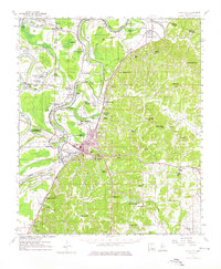
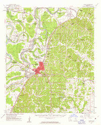
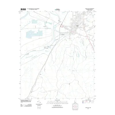
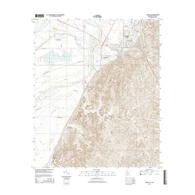
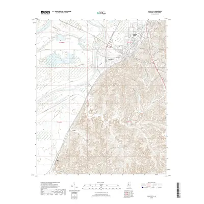
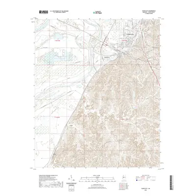
Loading map...1961 Map of Yazoo City
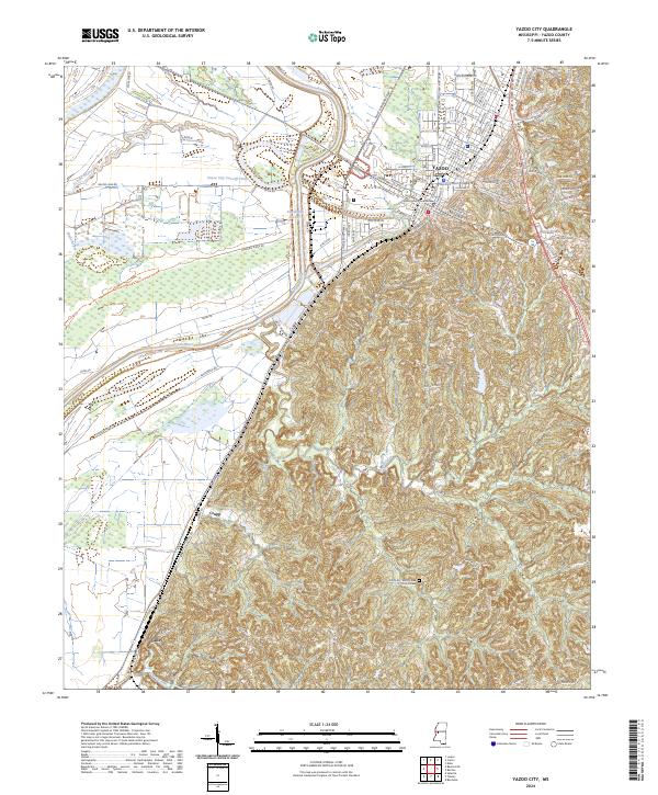
USGS Topo · Published 1976About this map
The Yazoo River dominates this mid-century landscape, carving a winding path through the delta lands where agricultural and industrial infrastructure converge. In Yazoo City, the urban footprint is shaped by the Illinois Central railroad and the Yazoo City Cut-Off 1940, reflecting significant water management and transportation efforts of the era. The presence of the Oil Refinery and Chemical Plant near Yazoo Junction highlights the post-war industrial expansion in the region.
Find a feature on this map
81 named features on this map. Tap any name to fly to it.
Don’t see what you’re looking for? This feature index may not catch every label — zoom into the map to look around manually.
Map Details
Date Portrayed1961
Date Published1976
PublisherU.S. Geological Survey
Map TypeTopographic
Scale1:62,500
Physical Dimensions17.9 x 21.8 inches
Editions of this 1961 Yazoo City Map
2 editions found
Historical Maps of Yazoo City Through Time
8 maps found
Featured Locations
Source Details
SourceU.S. Geological Survey
CopyrightPublic Domain