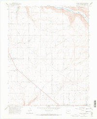
1965 Map of Yellow Jacket
USGS Topo · Published 1968About this map
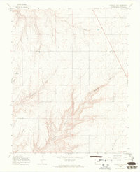
Yellow Jacket and the surrounding high mesa country are defined by a network of deep drainages carved into the landscape, including Yellowjacket Canyon and Sandstone Canyon. This mid-1960s survey captures the area’s agricultural and resource-based layout, with a large-scale Pipeline and irrigation features like the Lateral canal supporting the rural community. The map provides significant detail for genealogical research, locating the Emmanuel Ch and its neighboring Fairview Cem, alongside the Sunnyside Cem located near Lewis. To the northeast, the terrain drops sharply toward the Dolores River and Salter Can, where the boundary of the San Juan National Forest meets prominent landmarks such as Lone Dome. The mix of canyon topography and upland settlements reflects the historic ranching and dryland farming character of Montezuma County during this era.
Find a feature on this map
15 named features on this map. Tap any name to fly to it.
Don’t see what you’re looking for? This feature index may not catch every label — zoom into the map to look around manually.
Map Details
Editions of this 1965 Yellow Jacket Map
4 editions found
Other maps of this area

1956 · Cortez
USGS Topo · 1:250,000

1958 · Cortez
USGS Topo · 1:250,000

1959 · Cortez
USGS Topo · 1:250,000

1962 · Cortez
USGS Topo · 1:250,000

1965 · Cahone
USGS Topo · 1:24,000

1965 · Woods Canyon
USGS Topo · 1:24,000

1965 · Dolores West
USGS Topo · 1:24,000

1965 · Yellow Jacket
USGS Topo · 1:24,000
1965 · Arriola
USGS Topo · 1:24,000
1965 · Pleasant View
USGS Topo · 1:24,000