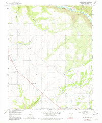
1965 Map of Yellow Jacket
USGS Topo · Published 1981About this map
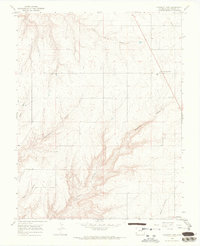
Lewis and the surrounding high desert terrain of Montezuma County appear here in a snapshot from the mid-1960s, prior to later water management changes in the region. The map captures a transition between the agricultural lands around the Yellow Jacket settlement and the deeper canyon systems to the north. Local spiritual and communal landmarks are well-represented by Emmanuel Ch and the Fairview Cem, while the Sunnyside Cem sits just east of the primary settlement cluster at Lewis.
Find a feature on this map
18 named features on this map. Tap any name to fly to it.
Don’t see what you’re looking for? This feature index may not catch every label — zoom into the map to look around manually.
Map Details
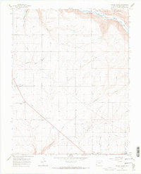
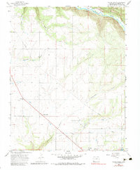
Editions of this 1965 Yellow Jacket Map
4 editions found
Other maps of this area

1956 · Cortez
USGS Topo · 1:250,000

1958 · Cortez
USGS Topo · 1:250,000

1959 · Cortez
USGS Topo · 1:250,000

1962 · Cortez
USGS Topo · 1:250,000

1965 · Cahone
USGS Topo · 1:24,000

1965 · Woods Canyon
USGS Topo · 1:24,000

1965 · Dolores West
USGS Topo · 1:24,000

1965 · Yellow Jacket
USGS Topo · 1:24,000
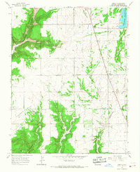
1965 · Arriola
USGS Topo · 1:24,000
1965 · Pleasant View
USGS Topo · 1:24,000