
1965 Map of Yellow Jacket
USGS Topo · Published 1968About this map
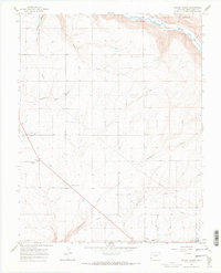
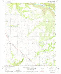
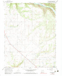
The Dolores River cuts through the northern reaches of this Colorado landscape, flowing past Lone Dome and the wooded boundary of the San Juan National Forest. In the mid-1960s, the area's agricultural and rural character is defined by a network of drainage features such as Sandstone Canyon, Yellowjacket Canyon, and Ryman Draw. The small settlements of Yellow Jacket and Lewis serve as local hubs, connected by roads and a prominent pipeline that traverses the terrain. This survey provides a clear view of local heritage sites, including the Emmanuel Ch and the nearby Fairview Cem, situated among the open fields and high desert draws. The mapping of a lateral canal reflects the importance of water management in this high-altitude ranching and farming region of Montezuma County.
Find a feature on this map
16 named features on this map. Tap any name to fly to it.
Don’t see what you’re looking for? This feature index may not catch every label — zoom into the map to look around manually.
Map Details
Editions of this 1965 Yellow Jacket Map
4 editions found
Other maps of this area

1956 · Cortez
USGS Topo · 1:250,000

1958 · Cortez
USGS Topo · 1:250,000

1959 · Cortez
USGS Topo · 1:250,000

1962 · Cortez
USGS Topo · 1:250,000

1965 · Cahone
USGS Topo · 1:24,000

1965 · Woods Canyon
USGS Topo · 1:24,000

1965 · Dolores West
USGS Topo · 1:24,000
1965 · Arriola
USGS Topo · 1:24,000
1965 · Pleasant View
USGS Topo · 1:24,000
1965 · Trimble Point
USGS Topo · 1:24,000