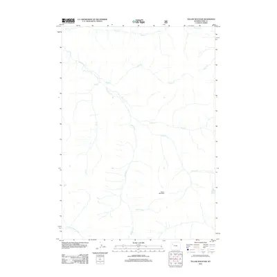
2012 Map of Yellow Mountain
USGS Topo · Published 2012About this map
Yellow Mountain stands as the central landmark in this high-elevation corner of Park County, where the headwaters of the Yellowstone watershed define the landscape. The intricate drainage network is dominated by the Thorofare Cr and the Valley Fork, which wind through the terrain to join the N Fork Yellowstone River at the southern edge of the sheet. This map captures a pristine wilderness environment, showing the convergence of numerous named streams such as Butte Cr, Woody Cr, and Bruin Cr. The confluence at Esmond Forks illustrates the complex natural irrigation of the region, providing a detailed view of the topographical features and riparian corridors that have remained largely unchanged by modern development.
Find a feature on this map
11 named features on this map. Tap any name to fly to it.
Don’t see what you’re looking for? This feature index may not catch every label — zoom into the map to look around manually.
Map Details
Editions of this 2012 Yellow Mountain Map
This is the sole edition of this map. No revisions or reprints were ever made.
Other maps of this area

1893 · Ishawooa
USGS Topo · 1:125,000

1895 · Ishawooa
USGS Topo · 1:125,000

1899 · Ishawooa
USGS Topo · 1:125,000

1905 · Younts Peak
USGS Topo · 1:125,000

1907 · Younts Peak
USGS Topo · 1:125,000

1955 · Cody
USGS Topo · 1:250,000

1955 · Thermopolis
USGS Topo · 1:250,000

1958 · Cody
USGS Topo · 1:250,000

1958 · Thermopolis
USGS Topo · 1:250,000

1962 · Thermopolis
USGS Topo · 1:250,000