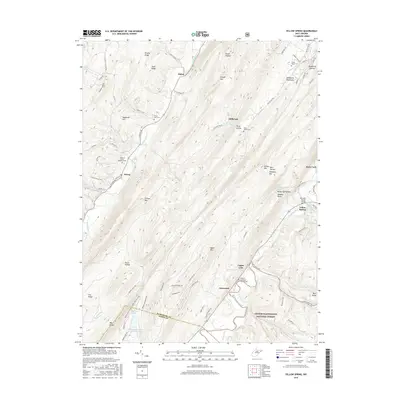
2016 Map of Yellow Spring
USGS Topo · Published 2016About this map
The Cacapon River and North River valleys dominate this portrait of eastern West Virginia, where the ridge-and-valley terrain of the Allegheny Mountains dictates the path of every road and settlement. Small communities like Sedan, Millbrook, and Yellow Spring are connected by winding routes such as Dillons Run Rd and N River Rd, following the natural gaps between peaks like Dillons Mtn and Baker Mtn. Local history is anchored by several rural church and burial sites, including the Hebron Lutheran Church Cem and Saint James Cem. The southern portion of the map transition into the George Washington National Forest, where the Tuscarora Trail crosses the high ridges. Named landmarks such as the Kenneth Seldon Bridge and Warden Lake highlight 21st-century infrastructure and recreation within this deeply rural landscape.
Find a feature on this map
90 named features on this map. Tap any name to fly to it.
Don’t see what you’re looking for? This feature index may not catch every label — zoom into the map to look around manually.
Map Details
Editions of this 2016 Yellow Spring Map
This is the sole edition of this map. No revisions or reprints were ever made.
Other maps of this area

1891 · Romney
USGS Topo · 1:125,000

1894 · Winchester
USGS Topo · 1:125,000

1916 · Capon Bridge
USGS Topo · 1:62,500

1921 · Hanging Rock
USGS Topo · 1:48,000

1922 · Wardensville
USGS Topo · 1:62,500

1923 · Middletown
USGS Topo · 1:62,500

1923 · Capon Bridge
USGS Topo · 1:62,500

1923 · Hanging Rock
USGS Topo · 1:62,500

1924 · Wardensville
USGS Topo · 1:62,500

1937 · Capon Bridge
USGS Topo · 1:48,000