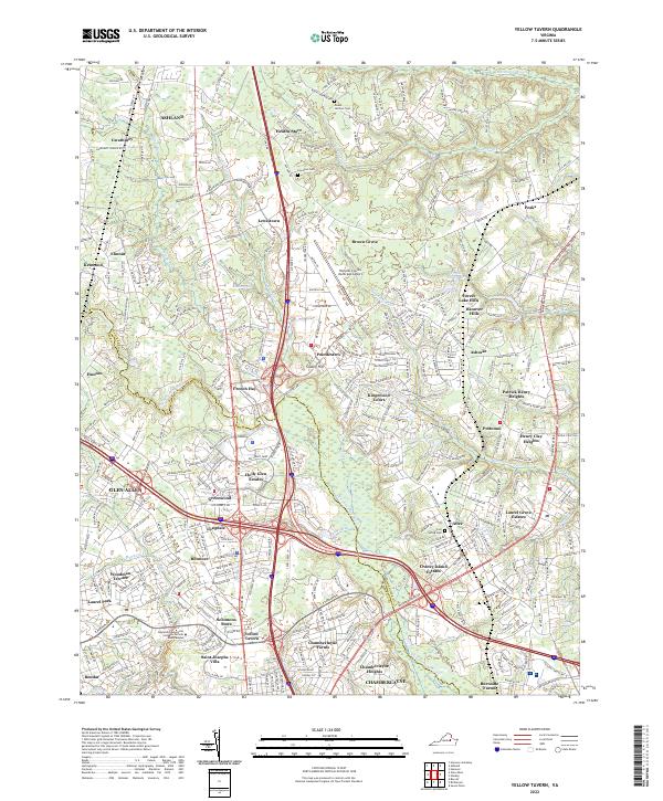
2022 Map of Yellow Tavern
USGS Topo · Published 2022About this map
Yellow Tavern and the historic estate of Saint Josephs Villa anchor this modern survey of the Hanover-Henrico border. The landscape is defined by the upper reaches of the Chickahominy River and Totopotomoy Cr, which wind through a suburban corridor shaped by the intersection of Interstates 95 and 295. This convergence of transportation infrastructure has spurred the growth of residential enclaves such as Chamberlayne Heights and Holly Glen Estates while maintaining remnants of older rural pockets.
Find a feature on this map
64 named features on this map. Tap any name to fly to it.
Don’t see what you’re looking for? This feature index may not catch every label — zoom into the map to look around manually.
Map Details
Editions of this 2022 Yellow Tavern Map
This is the sole edition of this map. No revisions or reprints were ever made.
Other maps of this area

1890 · Goochland
USGS Topo · 1:125,000

1892 · Goochland
USGS Topo · 1:125,000

1894 · Richmond
USGS Topo · 1:62,500

1895 · Richmond
USGS Topo · 1:62,500

1918 · Doswell
USGS Topo · 1:62,500

1934 · Seven Pines
USGS Topo · 1:24,000

1934 · Richmond
USGS Topo · 1:24,000

1936 · Richmond West
USGS Topo · 1:24,000

1936 · Glen Allen
USGS Topo · 1:24,000

1938 · Seven Pines
USGS Topo · 1:31,680