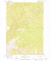
1963 Map of Yellowjacket
USGS Topo · Published 1977About this map
The rugged Idaho mining landscape of the early 1960s unfolds along the Yellowjacket Creek drainage, where the settlement of Yellowjacket and nearby Yellowjacket Ranch represent a remote pocket of historical industry. This area, located within the Salmon National Forest and Challis National Forest, is defined by a dense network of high-elevation sites such as the Columbia Mine, Red Jacket Mine, and the Yellowjacket Mine. Evidence of prospecting activity is scattered throughout the Yellowjacket Mts, linked by a system of rugged jeep trails and footpaths. To the south, the terrain descends toward Hot Springs and the waters of Forge Creek and Anvil Creek. The map provides a detailed view of the infrastructure that supported these high-mountain claims, including numerous Prospects and the Tin Cup Mine tucked away in the gulches of the Salmon River watershed.
Find a feature on this map
34 named features on this map. Tap any name to fly to it.
Don’t see what you’re looking for? This feature index may not catch every label — zoom into the map to look around manually.
Map Details
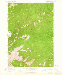
Editions of this 1963 Yellowjacket Map
2 editions found
Other maps of this area

1930 · Casto
USGS Topo · 1:125,000

1950 · Blackbird Mtn
USGS Topo · 1:62,500

1951 · Blackbird Mtn
USGS Topo · 1:62,500

1956 · Elk City
USGS Topo · 1:250,000

1957 · Challis
USGS Topo · 1:250,000

1960 · Elk City
USGS Topo · 1:250,000

1960 · Challis
USGS Topo · 1:250,000

1962 · Hoodoo Meadows
USGS Topo · 1:24,000

1962 · Puddin Mtn
USGS Topo · 1:24,000

1963 · Challis
USGS Topo · 1:250,000