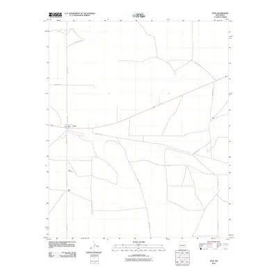
2010 Map of Yeso
USGS Topo · Published 2010About this map
Yeso serves as the primary hub of this high-plains landscape in De Baca County, clustered along the railway and the intersection of local routes. The settlement's infrastructure is clearly delineated, anchored by the Yeso Post Office and the nearby Yeso Cemetery, which provide essential points of interest for genealogists and local historians tracking family roots in this part of New Mexico. The surrounding terrain is defined by a network of rural corridors, including County Rd-1-8 and County Rd-1-30, which connect isolated homesteads like Hisel Ranch and Long Ranch to the town center. This survey captures a specific moment in the early 21st century, illustrating the enduring layout of a small ranching community and its continued reliance on a sparse but critical transportation grid.
Find a feature on this map
12 named features on this map. Tap any name to fly to it.
Don’t see what you’re looking for? This feature index may not catch every label — zoom into the map to look around manually.
Map Details
Editions of this 2010 Yeso Map
This is the sole edition of this map. No revisions or reprints were ever made.
Other maps of this area

1954 · Fort Sumner
USGS Topo · 1:250,000

1958 · Fort Sumner
USGS Topo · 1:250,000

1966 · West Camp
USGS Topo · 1:24,000

1966 · El Morro Mesa
USGS Topo · 1:24,000

1966 · Ricardo
USGS Topo · 1:24,000

1966 · Alamogordo Dam
USGS Topo · 1:24,000

1966 · Borica SW
USGS Topo · 1:24,000

1966 · Cooper Ranch
USGS Topo · 1:24,000

1966 · Horney Ranch
USGS Topo · 1:24,000

1966 · Yeso
USGS Topo · 1:24,000