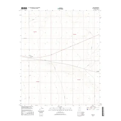
2017 Map of Yeso
USGS Topo · Published 2017About this map
The small settlement of Yeso sits at the intersection of local routes in De Baca County, its central gathering point marked by the Po (post office). The landscape reflects a structured ranching and transport network, with the community anchored by the nearby Yeso Cem and a grid of rural roads named for local families and landmarks. The survey captures the corridor leading east toward Evanola, a secondary focal point connected by Evanola Rd and Angus Rd. This 2017 edition records the modern layout of the Public Land Survey System divisions, specifically t3n r22e and t2n r22e, illustrating how the desert plains are organized around these small, isolated hubs and the roads that bind them, such as Dunlap Rd and Bald Eagle Rd.
Find a feature on this map
18 named features on this map. Tap any name to fly to it.
Don’t see what you’re looking for? This feature index may not catch every label — zoom into the map to look around manually.
Map Details
Editions of this 2017 Yeso Map
This is the sole edition of this map. No revisions or reprints were ever made.
Other maps of this area

1954 · Fort Sumner
USGS Topo · 1:250,000

1958 · Fort Sumner
USGS Topo · 1:250,000

1966 · West Camp
USGS Topo · 1:24,000

1966 · El Morro Mesa
USGS Topo · 1:24,000

1966 · Ricardo
USGS Topo · 1:24,000

1966 · Alamogordo Dam
USGS Topo · 1:24,000

1966 · Borica SW
USGS Topo · 1:24,000

1966 · Cooper Ranch
USGS Topo · 1:24,000

1966 · Horney Ranch
USGS Topo · 1:24,000

1966 · Yeso
USGS Topo · 1:24,000