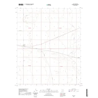
2020 Map of Yeso
USGS Topo · Published 2020About this map
The high plains of De Baca County are anchored by Yeso, a small settlement positioned along a central transportation corridor. This survey captures the rural layout of the area, where the vast landscape is partitioned into townships like t3n r22e and t2n r23e. A network of local routes, including Dunlap Rd and Bald Eagle Rd, connects the scattered points of activity. South of the main village lies the Yeso Cem, a primary point of interest for those researching local family lineages and the history of this sparsely populated region. To the east, the locale of Evanola marks another named point in the open terrain, served by Evanola Rd and Angus Rd. The map illustrates a landscape defined by ranching-era infrastructure and a quiet, enduring rural geography.
Find a feature on this map
17 named features on this map. Tap any name to fly to it.
Don’t see what you’re looking for? This feature index may not catch every label — zoom into the map to look around manually.
Map Details
Editions of this 2020 Yeso Map
This is the sole edition of this map. No revisions or reprints were ever made.
Other maps of this area

1954 · Fort Sumner
USGS Topo · 1:250,000

1958 · Fort Sumner
USGS Topo · 1:250,000

1966 · West Camp
USGS Topo · 1:24,000

1966 · El Morro Mesa
USGS Topo · 1:24,000

1966 · Ricardo
USGS Topo · 1:24,000

1966 · Alamogordo Dam
USGS Topo · 1:24,000

1966 · Borica SW
USGS Topo · 1:24,000

1966 · Cooper Ranch
USGS Topo · 1:24,000

1966 · Horney Ranch
USGS Topo · 1:24,000

1966 · Yeso
USGS Topo · 1:24,000