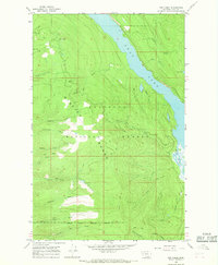
1965 Map of Yew Creek
USGS Topo · Published 1968About this map
Swan Lake dominates the northeastern corner of this Montana landscape, where the Swan River flows through a narrow corridor defined by the towering Mission Range. This mid-1960s survey captures a transition between protected public lands and tribal territories, marked by the Flathead Indian Reservation Boundary running along the southern edge of the sheet. Most of the terrain is managed as the Flathead National Forest, characterized by a dense network of watercourses including Crane Creek, Lolo Creek, and Gunderson Creek.
Find a feature on this map
31 named features on this map. Tap any name to fly to it.
Don’t see what you’re looking for? This feature index may not catch every label — zoom into the map to look around manually.
Map Details
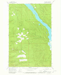
Editions of this 1965 Yew Creek Map
2 editions found
Other maps of this area

1914 · Nyack
USGS Topo · 1:125,000

1920 · Flathead Lake
USGS Topo · 1:125,000

1943 · Kalispell
USGS Topo · 1:125,000

1955 · Choteau
USGS Topo · 1:250,000

1956 · Wallace
USGS Topo · 1:250,000

1957 · Choteau
USGS Topo · 1:250,000

1957 · Kalispell
USGS Topo · 1:250,000

1958 · Choteau
USGS Topo · 1:250,000

1960 · Kalispell
USGS Topo · 1:250,000

1960 · Wallace
USGS Topo · 1:250,000