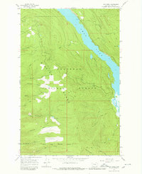
1965 Map of Yew Creek
USGS Topo · Published 1980About this map
The Mission Range defines this landscape in the mid-1960s, its steep drainages flowing eastward toward the shores of Swan Lake. This territory is dominated by the Flathead National Forest, where a network of many named streams including Yew Creek, Gunderson Creek, and No-see-em Creek carve through the western slopes. A significant administrative line, the Flathead Indian Reservation Boundary, cuts across the southern portion of the quadrangle near Bay Creek, marking the division of land tenure and resource management during this era.
Find a feature on this map
30 named features on this map. Tap any name to fly to it.
Don’t see what you’re looking for? This feature index may not catch every label — zoom into the map to look around manually.
Map Details
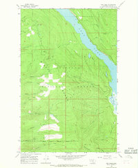
Editions of this 1965 Yew Creek Map
2 editions found
Other maps of this area

1914 · Nyack
USGS Topo · 1:125,000

1920 · Flathead Lake
USGS Topo · 1:125,000

1943 · Kalispell
USGS Topo · 1:125,000

1955 · Choteau
USGS Topo · 1:250,000

1956 · Wallace
USGS Topo · 1:250,000

1957 · Choteau
USGS Topo · 1:250,000

1957 · Kalispell
USGS Topo · 1:250,000

1958 · Choteau
USGS Topo · 1:250,000

1960 · Kalispell
USGS Topo · 1:250,000

1960 · Wallace
USGS Topo · 1:250,000