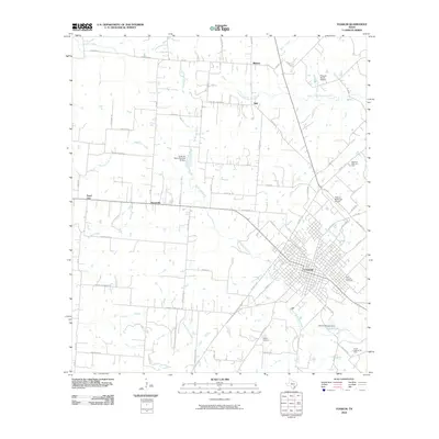
2010 Map of Yoakum
USGS Topo · Published 2010About this map
Yoakum anchors the southeastern portion of this map, revealing a dense urban grid that transitions into the agricultural and industrial outskirts of Lavaca and DeWitt counties. The city's growth is marked by its infrastructure, including the Yoakum Municipal Airport and the sprawling layout around Saint Joseph Cemetery. Beyond the city limits, the landscape is defined by the winding course of Big Brushy Creek and its many tributaries like Roundhouse Creek and Supplejack Creek. The area's economic history is evident in the South Yoakum Oil Field and numerous named rural roads, such as Lone Tree School Rd and Morris School Rd, which hint at former community centers. Smaller named settlements including Petersville, Pearl City, and Adel are scattered through the north and west, while the Kaiser Lake reservoir created by the Florine P Kaiser Dam highlights the importance of water management in this cattle-and-oil region.
Find a feature on this map
73 named features on this map. Tap any name to fly to it.
Don’t see what you’re looking for? This feature index may not catch every label — zoom into the map to look around manually.
Map Details
Editions of this 2010 Yoakum Map
This is the sole edition of this map. No revisions or reprints were ever made.
Other maps of this area

1953 · Seguin
USGS Topo · 1:250,000

1958 · Seguin
USGS Topo · 1:250,000

1959 · Hochheim
USGS Topo · 1:24,000

1959 · Hamon
USGS Topo · 1:24,000

1960 · Concrete
USGS Topo · 1:24,000

1962 · Edgar
USGS Topo · 1:24,000

1962 · Terryville
USGS Topo · 1:24,000

1963 · Yoakum
USGS Topo · 1:24,000

1963 · Sweet Home
USGS Topo · 1:24,000

1965 · Wied
USGS Topo · 1:24,000