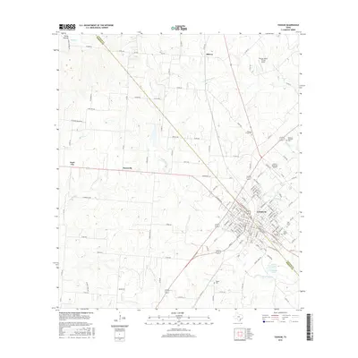
2016 Map of Yoakum
USGS Topo · Published 2016About this map
Yoakum sits at the intersection of the Lavaca and DeWitt county lines, serving as a hub for the surrounding agricultural prairie. The city’s residential grid is bounded by Big Brushy Creek and West Grand Creek, with several established burial grounds such as Saint Joseph Cemetery and Oak Grove Cemetery located on the eastern edge. Smaller outlying settlements like Petersville, Pearl City, and Midway reflect the persistent rural community structure of the region in the early 21st century.
Find a feature on this map
149 named features on this map. Tap any name to fly to it.
Don’t see what you’re looking for? This feature index may not catch every label — zoom into the map to look around manually.
Map Details
Editions of this 2016 Yoakum Map
This is the sole edition of this map. No revisions or reprints were ever made.
Other maps of this area

1953 · Seguin
USGS Topo · 1:250,000

1958 · Seguin
USGS Topo · 1:250,000

1959 · Hochheim
USGS Topo · 1:24,000

1959 · Hamon
USGS Topo · 1:24,000

1960 · Concrete
USGS Topo · 1:24,000

1962 · Edgar
USGS Topo · 1:24,000

1962 · Terryville
USGS Topo · 1:24,000

1963 · Yoakum
USGS Topo · 1:24,000

1963 · Sweet Home
USGS Topo · 1:24,000

1965 · Wied
USGS Topo · 1:24,000