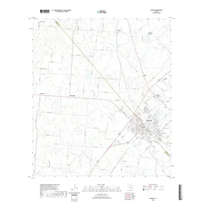
2019 Map of Yoakum
USGS Topo · Published 2019About this map
Yoakum sits at the heart of this landscape, straddling the historic county line between Lavaca and DeWitt counties. The town's grid is defined by a dense network of residential streets and local landmarks, including the Saint Joseph Cemetery and Oak Grove Cemetery to the east. The surrounding countryside is a patchwork of rural holdings and small settlements like Petersville and Pearl City, connected by a web of farm-to-market roads and cattle lanes.
Find a feature on this map
146 named features on this map. Tap any name to fly to it.
Don’t see what you’re looking for? This feature index may not catch every label — zoom into the map to look around manually.
Map Details
Editions of this 2019 Yoakum Map
This is the sole edition of this map. No revisions or reprints were ever made.
Other maps of this area

1953 · Seguin
USGS Topo · 1:250,000

1958 · Seguin
USGS Topo · 1:250,000

1959 · Hochheim
USGS Topo · 1:24,000

1959 · Hamon
USGS Topo · 1:24,000

1960 · Concrete
USGS Topo · 1:24,000

1962 · Edgar
USGS Topo · 1:24,000

1962 · Terryville
USGS Topo · 1:24,000

1963 · Yoakum
USGS Topo · 1:24,000

1963 · Sweet Home
USGS Topo · 1:24,000

1965 · Wied
USGS Topo · 1:24,000