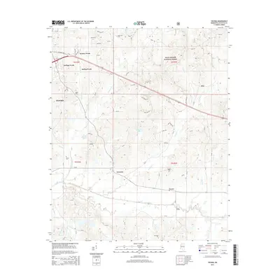
2015 Map of Yocona
USGS Topo · Published 2015About this map
The Yocona River valley south of Oxford defines the topography of this Lafayette County landscape in 2015. While the northern reaches show the residential expansion of subdivisions like Brittany Woods and Rollings Woods, the central and southern portions maintain a rural character dominated by the Holly Springs National Forest. The map is particularly useful for genealogical research, documenting several small community burial grounds including Yellow Leaf Cem, Bowles Cem, and Kingdom Cem.
Find a feature on this map
56 named features on this map. Tap any name to fly to it.
Don’t see what you’re looking for? This feature index may not catch every label — zoom into the map to look around manually.
Map Details
Editions of this 2015 Yocona Map
This is the sole edition of this map. No revisions or reprints were ever made.
Other maps of this area

1940 · Oxford
USGS Topo · 1:62,500

1942 · Denmark
USGS Topo · 1:62,500

1943 · Denmark
USGS Topo · 1:62,500

1943 · Oxford
USGS Topo · 1:62,500

1954 · Water Valley
USGS Topo · 1:62,500

1955 · Water Valley
USGS Topo · 1:62,500

1956 · Tupelo
USGS Topo · 1:250,000

1958 · Tupelo
USGS Topo · 1:250,000

1972 · Paris
USGS Topo · 1:24,000
1972 · Tula
USGS Topo · 1:24,000