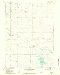
1960 Map of Yoder
USGS Topo · Published 1962About this map
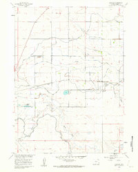
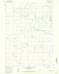
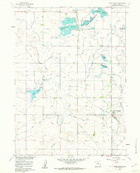
The agricultural landscape of Goshen County is defined here by a sophisticated network of irrigation features surrounding the town of Yoder. Managed as part of the Missouri River Basin development, the terrain relies on infrastructure like the Fort Laramie Canal and the Bump Sullivan Ditch to divert water through the Goshen Hole depression. To the south, the Springer Wildlife Management Unit surrounds the Goshen Hole (Springer) Reservoir, a central water body that anchors the local ecosystem and recreation area.
Find a feature on this map
16 named features on this map. Tap any name to fly to it.
Don’t see what you’re looking for? This feature index may not catch every label — zoom into the map to look around manually.
Map Details
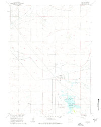
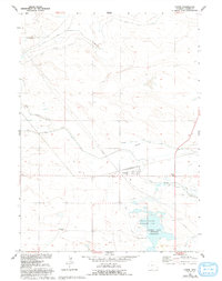
Editions of this 1960 Yoder Map
3 editions found
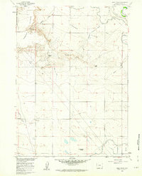
Other maps of this area

1896 · Patrick
USGS Topo · 1:125,000

1899 · Goshen Hole
USGS Topo · 1:125,000

1954 · Torrington
USGS Topo · 1:250,000

1954 · Cheyenne
USGS Topo · 1:250,000

1958 · Cheyenne
USGS Topo · 1:250,000

1958 · Torrington
USGS Topo · 1:250,000
1960 · Habig Spring
USGS Topo · 1:24,000
1960 · Huntley
USGS Topo · 1:24,000
1960 · Veteran
USGS Topo · 1:24,000
1960 · Hawk Springs
USGS Topo · 1:24,000