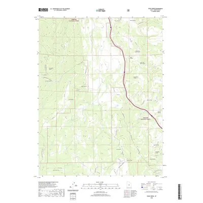
2020 Map of Yogo Creek
USGS Topo · Published 2020About this map
Fishlake National Forest encompasses this high-elevation landscape, where a dense network of watercourses and canyons defines the drainage patterns of Sevier County. The topography is dominated by peaks and plateaus, most notably Moroni Peak and the sprawling Flat Top Mtn, which separate deep incisions like Rock Canyon and Saddlehorse Canyon. The map reveals a complex system of livestock-related features and land management, indicated by names such as Corral Hole and Beaver Dams. Transportation in this era relies heavily on forest roads and trails, including the Great Western Trail (D-4) and specialized routes like the Sheep Valley - Moroni trail. Small hydrology features, such as Mud Lake and the various forks of Yogo Creek, provide essential water sources for the region's diverse wildlife and grazing cattle.
Find a feature on this map
45 named features on this map. Tap any name to fly to it.
Don’t see what you’re looking for? This feature index may not catch every label — zoom into the map to look around manually.
Map Details
Editions of this 2020 Yogo Creek Map
This is the sole edition of this map. No revisions or reprints were ever made.
Other maps of this area

1885 · Fish Lake
USGS Topo · 1:250,000

1896 · Fish Lake
USGS Topo · 1:250,000

1922 · Emery No.3
USGS Topo · 1:31,680

1925 · Acord Lakes
USGS Topo · 1:62,500

1956 · Salina
USGS Topo · 1:250,000

1960 · Salina
USGS Topo · 1:250,000

1962 · Salina
USGS Topo · 1:250,000
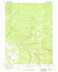
1966 · Steves Mtn
USGS Topo · 1:24,000
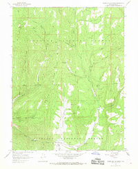
1966 · Water Hollow Ridge
USGS Topo · 1:24,000

1966 · Yogo Creek
USGS Topo · 1:24,000