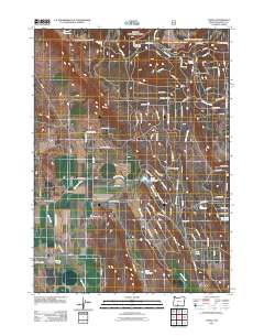
2011 Map of Yonna
USGS Topo · Published 2011About this map
The high desert landscape of Klamath County is defined by water management and transit corridors near Hildebrand and Yonna. Local hydrology centers on Wildhorse Creek and Fisher Creek, which feed a series of impoundments including Ritter Reservoir and Bechdoldt Reservoir. The 2011 topography reveals an intricate network of rural roads such as Bliss Rd and Old Bly Rd, serving isolated ranching operations and resource extraction sites like the Schonchin Cinder Pit. The transit of Bly Mountain Pass and the surrounding terrain of Maynard Flat suggest the area's role as a high-altitude passage through the eastern foothills. Unusual naming patterns appear in the residential clusters near Ritter Reservoir, where streets like Canvasback Dr and Widgeon Ln reflect the local importance of waterfowl and the proximity of seasonal wetlands like Log Lake and Johnny Lake.
Find a feature on this map
102 named features on this map. Tap any name to fly to it.
Don’t see what you’re looking for? This feature index may not catch every label — zoom into the map to look around manually.
Map Details
Editions of this 2011 Yonna Map
This is the sole edition of this map. No revisions or reprints were ever made.
Other maps of this area
1889 · Klamath
USGS Topo · 1:250,000
1894 · Klamath
USGS Topo · 1:250,000
1955 · Klamath Falls
USGS Topo · 1:250,000
1957 · Merrill
USGS Topo · 1:62,500
1957 · Swan Lake
USGS Topo · 1:62,500
1957 · Malin
USGS Topo · 1:62,500
1958 · Klamath Falls
USGS Topo · 1:250,000
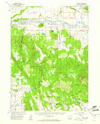
1960 · Beatty
USGS Topo · 1:62,500
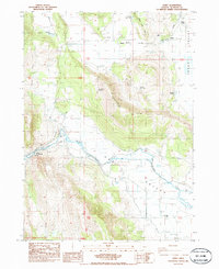
1985 · Dairy
USGS Topo · 1:24,000
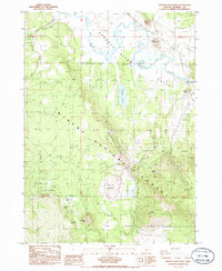
1985 · Sprague River West
USGS Topo · 1:24,000