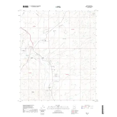
2018 Map of York
USGS Topo · Published 2018About this map
The Gila River corridor serves as the primary artery for settlement and infrastructure in this desert landscape, anchored by the community of York and the vital junction at Three Way. In the northern section, the Greenlee County Airport sits atop a mesa, illustrating the use of flat topographical plateaus for modern aviation needs. The surrounding terrain is defined by rugged elevation changes, with the Peloncillo Mountains rising to the south and a series of expansive plateaus including Wire Corral Mesa, Democrat Mesa, and Big Mesa dominating the eastern horizon. These landforms are cut by numerous canyons and washes, such as Tollhouse Canyon and Greaser Wash, where seasonal water sources like Gus Spring and Top Ear Spring provide critical points of interest in an otherwise arid environment. Roads like the Coronado Trl weave through these valleys, connecting the scattered residential pockets of York Valley to the wider region.
Find a feature on this map
51 named features on this map. Tap any name to fly to it.
Don’t see what you’re looking for? This feature index may not catch every label — zoom into the map to look around manually.
Map Details
Editions of this 2018 York Map
This is the sole edition of this map. No revisions or reprints were ever made.
Other maps of this area

1902 · Clifton
USGS Topo · 1:62,500

1913 · Morenci
USGS Topo · 1:125,000

1915 · Morenci
USGS Topo · 1:125,000

1954 · Silver City
USGS Topo · 1:250,000

1954 · Clifton
USGS Topo · 1:250,000

1957 · Clifton
USGS Topo · 1:250,000

1958 · Silver City
USGS Topo · 1:250,000

1958 · Clifton
USGS Topo · 1:250,000

1959 · York Valley
USGS Topo · 1:62,500

1960 · Guthrie
USGS Topo · 1:62,500