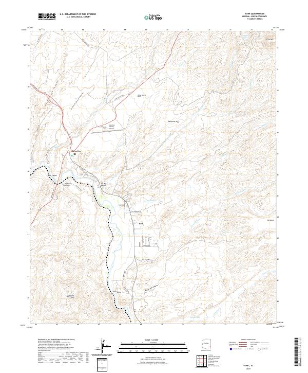
2021 Map of York
USGS Topo · Published 2021About this map
The Gila River winds through this arid landscape, serving as a vital corridor for settlement in eastern Arizona. The small communities of York and York Valley are positioned along the river's eastern banks, while the junction at Three Way marks a point of connectivity near the confluence of local drainages. The terrain is characterized by complex canyon systems and flat-topped mesas, including Buzzard Roost Canyon, Rattlesnake Canyon, and Wire Corral Mesa. Toward the south, the foothills of the Peloncillo Mountains dominate the horizon. Local infrastructure like the Greenlee County Airport and a network of rural roads such as Guthrie Rd and Coronado Trl provide insight into the modern land use and transportation patterns of this desert region, where water sources like Lop Ear Spring remain significant landmarks in a dry environment.
Find a feature on this map
50 named features on this map. Tap any name to fly to it.
Don’t see what you’re looking for? This feature index may not catch every label — zoom into the map to look around manually.
Map Details
Editions of this 2021 York Map
This is the sole edition of this map. No revisions or reprints were ever made.
Other maps of this area

1902 · Clifton
USGS Topo · 1:62,500

1913 · Morenci
USGS Topo · 1:125,000

1915 · Morenci
USGS Topo · 1:125,000

1954 · Silver City
USGS Topo · 1:250,000

1954 · Clifton
USGS Topo · 1:250,000

1957 · Clifton
USGS Topo · 1:250,000

1958 · Silver City
USGS Topo · 1:250,000

1958 · Clifton
USGS Topo · 1:250,000

1959 · York Valley
USGS Topo · 1:62,500

1960 · Guthrie
USGS Topo · 1:62,500