Loading...
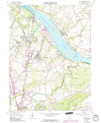
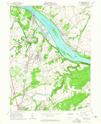
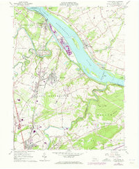
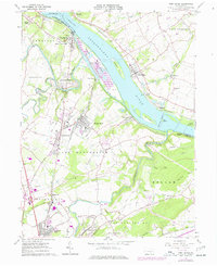
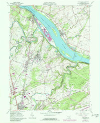
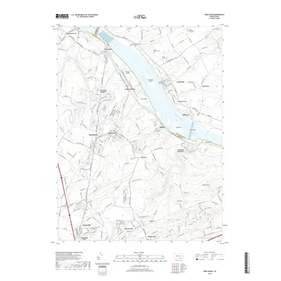
Loading map...1964 Map of York Haven
USGS Topo · Published 1990About this map
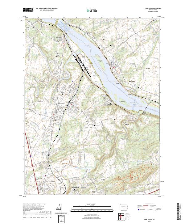
The Susquehanna River dominates this mid-century landscape, marked by the turbulent Conewago Falls and a series of large river islands including Brunner Island and Haldeman Island. Along the western banks, the industrial character of York Haven and Mount Wolf is evident, while the eastern shore at Bainbridge reflects a terrain shaped by Locust Grove Quarries and other mineral extraction sites.
Find a feature on this map
76 named features on this map. Tap any name to fly to it.
Don’t see what you’re looking for? This feature index may not catch every label — zoom into the map to look around manually.
Map Details
Date Portrayed1964
Date Published1990
PublisherU.S. Geological Survey
Map TypeTopographic
Scale1:24,000
Physical Dimensions21.9 x 26.6 inches
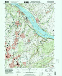
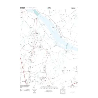
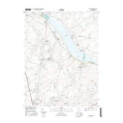
Editions of this 1964 York Haven Map
5 editions found
Historical Maps of Manchester Through Time
7 maps found

Featured Locations
Source Details
SourceU.S. Geological Survey
CopyrightPublic Domain