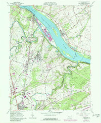
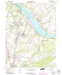
1964 Map of York Haven
USGS Topo · Published 1989About this map
The Susquehanna River dominates this landscape, defined by the industrial and geological features between York Haven and Bainbridge. The massive footprint of Brunner Island sits opposite Haldeman Island, flanked by the turbulent Conewago Falls and Haldeman Riffles. This riverine economy is supported by the Penn Central rail lines, which connect riverside settlements like Saginaw and the quarry-heavy district of Billmeyer. Inland, the map reveals the growth of Mount Wolf and Manchester, where residential streets meet established landmarks like the Codorus Furnace and Northeastern High Sch.
Find a feature on this map
78 named features on this map. Tap any name to fly to it.
Don’t see what you’re looking for? This feature index may not catch every label — zoom into the map to look around manually.
Map Details
Editions of this 1964 York Haven Map
5 editions found
Other maps of this area

1906 · New Cumberland
USGS Topo · 1:62,500

1908 · Middletown
USGS Topo · 1:62,500

1908 · York
USGS Topo · 1:62,500

1910 · York
USGS Topo · 1:62,500

1920 · Hanover
USGS Topo · 1:62,500

1922 · Hanover
USGS Topo · 1:62,500

1943 · New Cumberland
USGS Topo · 1:62,500

1943 · Middletown
USGS Topo · 1:62,500

1948 · Baltimore
USGS Topo · 1:250,000

1950 · Harrisburg
USGS Topo · 1:250,000