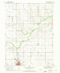
1969 Map of York North
USGS Topo · Published 1971About this map
The York municipal center and surrounding agricultural landscape define this late 1960s study of central Nebraska. The town's grid expands toward the County Fairground and Municipal Airport, while the northern portion of the map retains its rural character, anchored by the small community of Thayer. Local transportation patterns are evident in the Old Railroad Grade and the active tracks of the Burlington Northern, which served as vital arteries for the region's grain-based economy.
Find a feature on this map
26 named features on this map. Tap any name to fly to it.
Don’t see what you’re looking for? This feature index may not catch every label — zoom into the map to look around manually.
Map Details
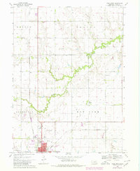
Editions of this 1969 York North Map
2 editions found
Other maps of this area

1896 · Stromsburg
USGS Topo · 1:125,000

1898 · York
USGS Topo · 1:125,000

1899 · David City
USGS Topo · 1:125,000

1899 · York
USGS Topo · 1:125,000

1934 · Utica
USGS Topo · 1:62,500

1937 · Utica
USGS Topo · 1:62,500

1955 · Fremont
USGS Topo · 1:250,000

1955 · Lincoln
USGS Topo · 1:250,000

1957 · Fremont
USGS Topo · 1:250,000

1957 · Lincoln
USGS Topo · 1:250,000