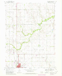
1969 Map of York North
USGS Topo · Published 1984About this map
Lincoln Creek meanders through this agricultural landscape in York County, defining the drainage patterns between the townships of Morton, Thayer, Lockridge, and New York. The northern outskirts of York anchor the southern margin, showing the town's mid-century expansion with the York Municipal Airport, County Fairground, and a Drive-in Theater along the highway. Evidence of the region’s deep-rooted rural communities is found in the scattered locations of St Pauls Ch, Zion Ch, and Rosemond Cem. Industrial and transport infrastructure of the late 1960s is represented by the Burlington Northern railroad lines and a riverside Sandpit. The map also documents smaller rural hubs such as the settlement of Thayer and the site of Mapps, providing a detailed look at the section-line road network and irrigation wells that sustained Nebraska's plains during this era.
Find a feature on this map
25 named features on this map. Tap any name to fly to it.
Don’t see what you’re looking for? This feature index may not catch every label — zoom into the map to look around manually.
Map Details
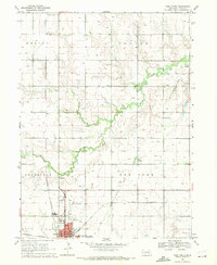
Editions of this 1969 York North Map
2 editions found
Other maps of this area

1896 · Stromsburg
USGS Topo · 1:125,000

1898 · York
USGS Topo · 1:125,000

1899 · David City
USGS Topo · 1:125,000

1899 · York
USGS Topo · 1:125,000

1934 · Utica
USGS Topo · 1:62,500

1937 · Utica
USGS Topo · 1:62,500

1955 · Fremont
USGS Topo · 1:250,000

1955 · Lincoln
USGS Topo · 1:250,000

1957 · Fremont
USGS Topo · 1:250,000

1957 · Lincoln
USGS Topo · 1:250,000