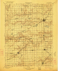
1898 Map of York
USGS Topo · Published 1912About this map
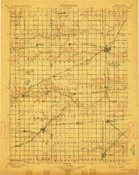
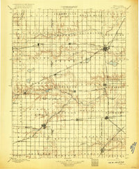
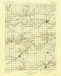
York stands as a primary hub in this late nineteenth-century portrait of southeastern Nebraska, where a dense lattice of competing rail lines defines the agricultural landscape. The survey captures a period of intense rail development, featuring the Kansas City and Omaha RR, the Alma and Stromsburg Line, and the Fremont Elkhorn and Missouri Valley RR. These corridors dictated the placement of grain-shipping towns like Sutton, Fairmont, and Henderson, which appear here in their early stages of growth.
Find a feature on this map
78 named features on this map. Tap any name to fly to it.
Don’t see what you’re looking for? This feature index may not catch every label — zoom into the map to look around manually.
Map Details
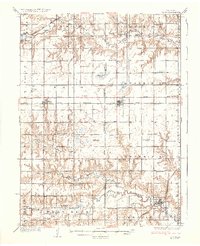
Editions of this 1898 York Map
4 editions found
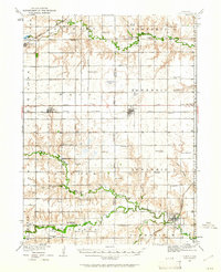
Other maps of this area

1896 · Stromsburg
USGS Topo · 1:125,000

1898 · York
USGS Topo · 1:125,000

1898 · Superior
USGS Topo · 1:125,000

1898 · Hebron
USGS Topo · 1:125,000

1898 · Grand Island
USGS Topo · 1:125,000
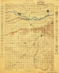
1899 · David City
USGS Topo · 1:125,000

1899 · St. Paul
USGS Topo · 1:125,000
1899 · York
USGS Topo · 1:125,000
1934 · Utica
USGS Topo · 1:62,500
1937 · Utica
USGS Topo · 1:62,500