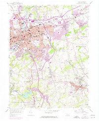
1954 Map of York
USGS Topo · Published 1974About this map
Codorus Cr flows through the heart of this Pennsylvania landscape, where mid-century urban expansion meets established rural communities. The map highlights the growth of York, branching out into neighborhoods like Windsor Park, Elmwood, and Violet Hill. This transition is clearly marked by the development of the interstate system, evidenced by a series of junctions from Interchange 10 near North York down to Interchange 4 by Leaders Heights. Significant local landmarks include the Penn Common and Prospect Hill Cem, alongside academic institutions such as Lincoln Sch and the local College. To the southeast, the terrain shifts toward more concentrated settlements like Yoe and Dallastown, while the York-Reservoir and Reynolds Mill along the South Branch Codorus Cr reflect the area's essential water and industrial history. Railroad corridors of the Penn Central and MD & Pa further illustrate the region's historical role as a transportation hub.
Find a feature on this map
101 named features on this map. Tap any name to fly to it.
Don’t see what you’re looking for? This feature index may not catch every label — zoom into the map to look around manually.
Map Details
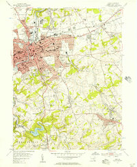
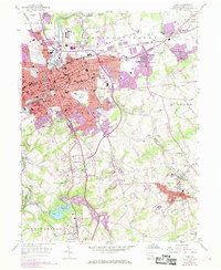
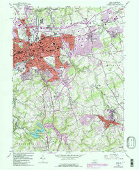
Editions of this 1954 York Map
4 editions found
Other maps of this area

1906 · New Cumberland
USGS Topo · 1:62,500

1908 · Middletown
USGS Topo · 1:62,500

1908 · York
USGS Topo · 1:62,500

1910 · York
USGS Topo · 1:62,500

1920 · Hanover
USGS Topo · 1:62,500

1922 · Hanover
USGS Topo · 1:62,500

1943 · New Cumberland
USGS Topo · 1:62,500

1943 · Middletown
USGS Topo · 1:62,500

1948 · Baltimore
USGS Topo · 1:250,000

1950 · Harrisburg
USGS Topo · 1:250,000