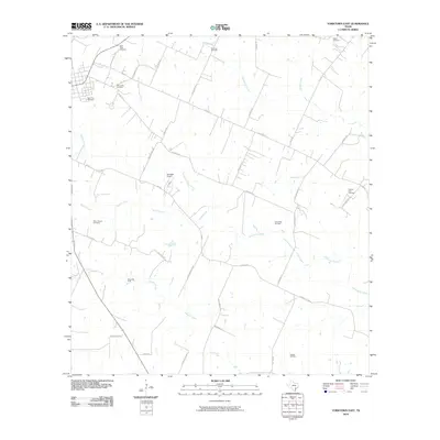
2010 Map of Yorktown East
USGS Topo · Published 2010About this map
Saint Louis Cemetery and Holy Cross Cemetery sit on the outskirts of a region defined by agricultural traditions and emerging energy production. This DeWitt County landscape in the early 21st century remains anchored by its history, evidenced by numerous family and community burial grounds such as the Menn-Treude Cemetery and the Captain York Cemetery. The map reveals a transition toward industrial land use with the established Yorktown Gas Field and Henze Oil Field peppering the countryside.
Find a feature on this map
47 named features on this map. Tap any name to fly to it.
Don’t see what you’re looking for? This feature index may not catch every label — zoom into the map to look around manually.
Map Details
Editions of this 2010 Yorktown East Map
This is the sole edition of this map. No revisions or reprints were ever made.
Other maps of this area

1920 · Smiley
USGS Topo · 1:125,000

1953 · Beeville
USGS Topo · 1:250,000

1953 · Seguin
USGS Topo · 1:250,000

1956 · Beeville
USGS Topo · 1:250,000

1958 · Seguin
USGS Topo · 1:250,000

1960 · Beeville
USGS Topo · 1:250,000

1960 · Cuero
USGS Topo · 1:24,000

1960 · Blackwell Lake
USGS Topo · 1:24,000

1961 · New Davy
USGS Topo · 1:24,000

1963 · Meyersville
USGS Topo · 1:24,000