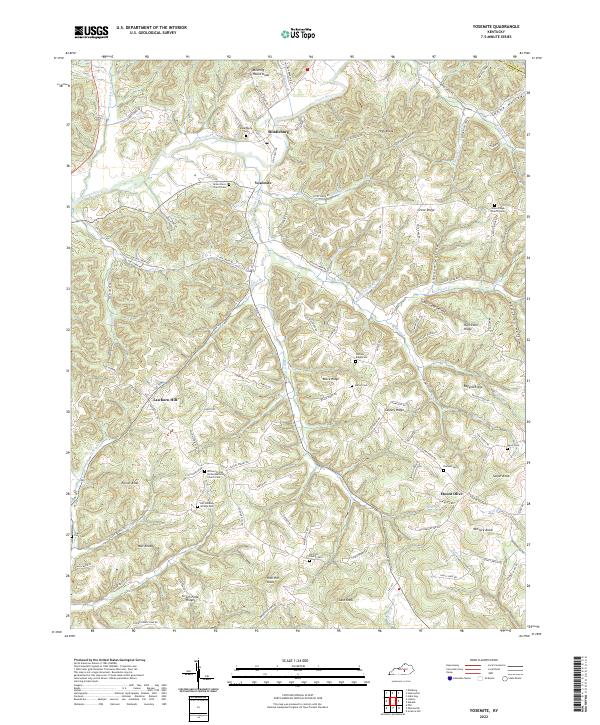
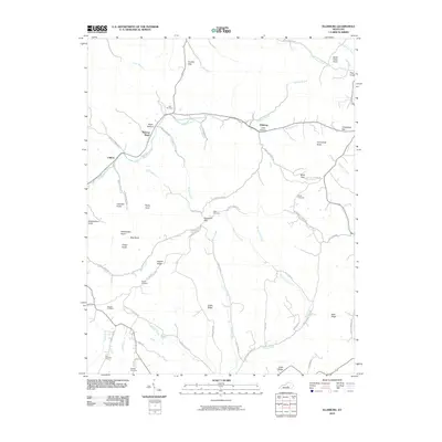
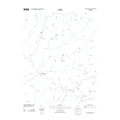
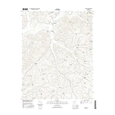
2022 Map of Yosemite
USGS Topo · Published 2022About this map
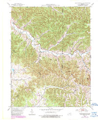
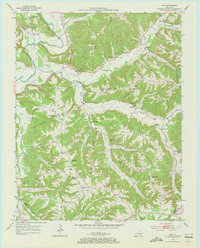
Green River winds through the northern portion of this Casey County landscape, passing the small communities of Middleburg and Yosemite. The terrain is characterized by a series of narrow ridges and hollows, including Grove Ridge and Ragged Ridge, which dictate the local road network and settlement patterns. Many of the thoroughfares, such as Black Ridge Rd and Calvary Ridge Rd, follow the high ground to connect isolated homesteads and family farms. Genealogical interest is high throughout the quadrangle, with numerous burial sites including Durham Cem, Salyer Cem, and Green River Church Cem. A historical mill site is suggested by Mill Br near Mount Olive, while local landmarks like Meeting House Knob and Rich Hill Knob provide distinctive elevation points in a region where travel historically relied on the winding paths of Hatter Cr and Knob Lick Cr.
Find a feature on this map
123 named features on this map. Tap any name to fly to it.
Don’t see what you’re looking for? This feature index may not catch every label — zoom into the map to look around manually.
Map Details
Editions of this 2022 Yosemite Map
This is the sole edition of this map. No revisions or reprints were ever made.
Historical Maps of Lawhorn Hill Through Time
30 maps found
1952 Clementsville
Casey County, KY
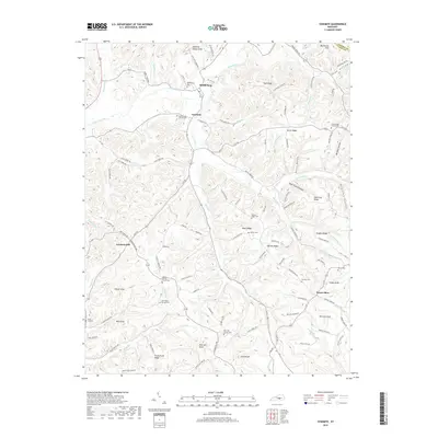
1952 Ellisburg
Casey County, KY
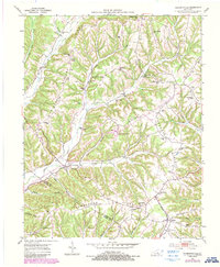
1952 Yosemite
Casey County, KY
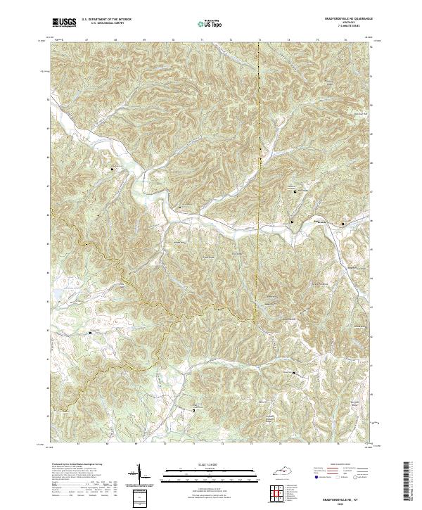
1953 Bradfordsville NE
Casey County, KY
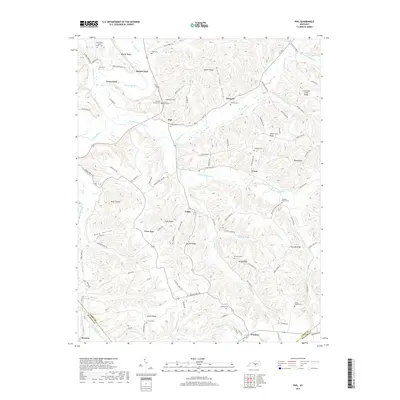
1953 Phil
Casey County, KY
2010 Bradfordsville NE
Casey County, KY
2010 Clementsville
Casey County, KY
2010 Ellisburg
Casey County, KY
2010 Phil
Casey County, KY
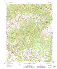
2010 Yosemite
Casey County, KY
2013 Bradfordsville NE
Casey County, KY
2013 Clementsville
Casey County, KY
2013 Ellisburg
Casey County, KY
2013 Phil
Casey County, KY
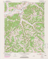
2013 Yosemite
Casey County, KY
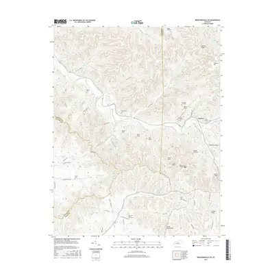
2016 Bradfordsville NE
Casey County, KY
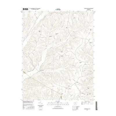
2016 Clementsville
Casey County, KY
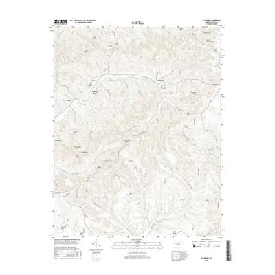
2016 Ellisburg
Casey County, KY
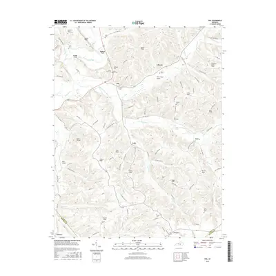
2016 Phil
Casey County, KY
2016 Yosemite
Casey County, KY
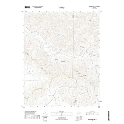
2019 Bradfordsville NE
Casey County, KY
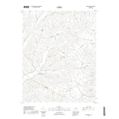
2019 Clementsville
Casey County, KY
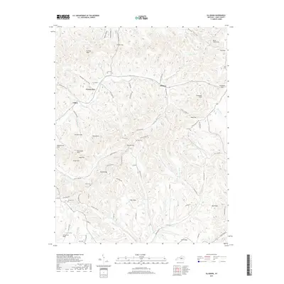
2019 Ellisburg
Casey County, KY
2019 Phil
Casey County, KY
2019 Yosemite
Casey County, KY
2022 Bradfordsville NE
Casey County, KY
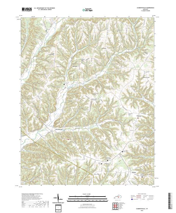
2022 Clementsville
Casey County, KY
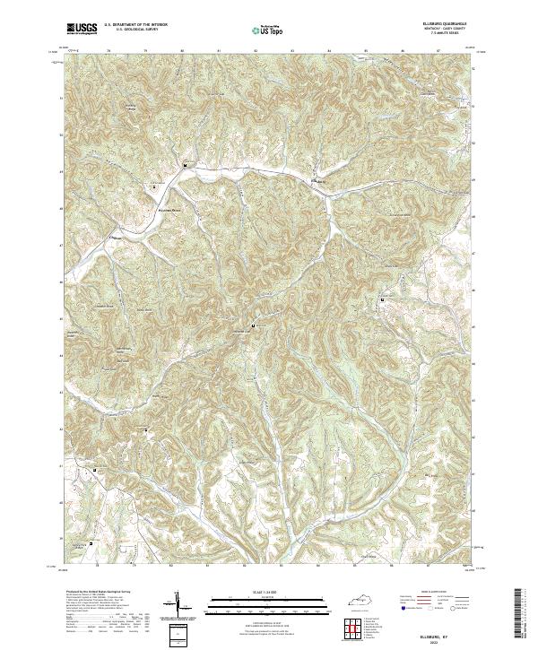
2022 Ellisburg
Casey County, KY
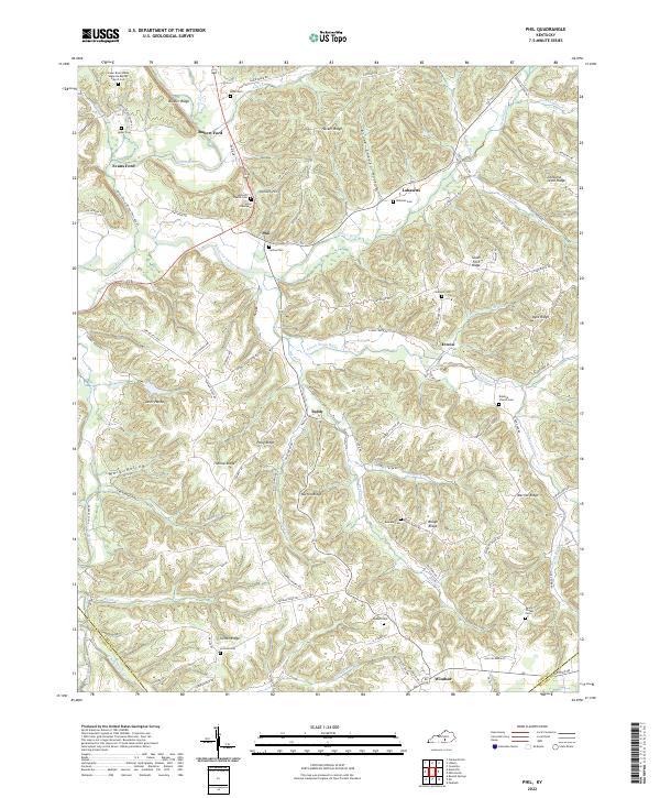
2022 Phil
Casey County, KY
2022 Yosemite
Casey County, KY