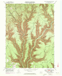
1946 Map of Young Womans Creek
USGS Topo · Published 1972About this map
The deep drainage basins of the Pennsylvania Wilds define this landscape, where Young Womans Creek and its many tributaries have carved a complex network of narrow valleys and high ridges. Spanning the boundary between Potter Co and Clinton Co, the map reveals a rugged backcountry largely defined by its natural topography rather than permanent settlements. In place of towns, the area is crisscrossed by specialized routes like the Cannon Hole Trail, Beechwood Trail, and Long Fork Trail, reflecting a history of timber management and forest access. Names like Calamity Hollow, Bee Tree Hollow, and Little Italian Hollow hint at the local lore and specific geographies known to the people who moved through these woods. While a large Pipeline and several Fireline paths cut through the terrain, the land remains primarily a wilderness of named ridges such as Greenlick Ridge and Lebo Ridge, showcasing the remote character of Stewardson and Chapman townships during the mid-20th century.
Find a feature on this map
57 named features on this map. Tap any name to fly to it.
Don’t see what you’re looking for? This feature index may not catch every label — zoom into the map to look around manually.
Map Details
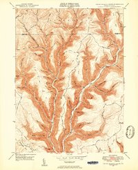
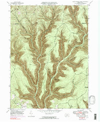
Editions of this 1946 Young Womans Creek Map
4 editions found
Other maps of this area

1943 · Hyner
USGS Topo · 1:62,500

1946 · Young Womans Creek
USGS Topo · 1:24,000

1946 · Renovo East
USGS Topo · 1:62,500

1946 · Renovo West
USGS Topo · 1:62,500

1946 · Tamarack
USGS Topo · 1:24,000

1946 · Slate Run
USGS Topo · 1:24,000

1946 · Renovo East
USGS Topo · 1:24,000

1946 · Renovo West
USGS Topo · 1:24,000

1946 · Glen Union
USGS Topo · 1:24,000

1947 · Conrad
USGS Topo · 1:62,500