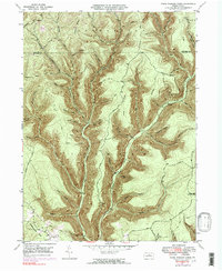
1946 Map of Young Womans Creek
USGS Topo · Published 1983About this map
Young Womans Creek carves a complex drainage system through the northern Pennsylvania highlands, where the Stewardson and Chapman territories meet at the border of Potter and Clinton Counties. The 1940s landscape is defined by its deep hollows and high ridges, notably Greenlick Ridge, Laurel Ridge, and Lecox Ridge. These landforms created a naturally isolated environment where early naming conventions often reflected local flora and pioneer hardships, as seen in Bee Tree Hol, Birch Hollow, and the evocative Calamity Hollow.
Find a feature on this map
50 named features on this map. Tap any name to fly to it.
Don’t see what you’re looking for? This feature index may not catch every label — zoom into the map to look around manually.
Map Details
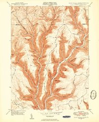
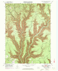
Editions of this 1946 Young Womans Creek Map
4 editions found
Other maps of this area

1943 · Hyner
USGS Topo · 1:62,500

1946 · Young Womans Creek
USGS Topo · 1:24,000

1946 · Renovo East
USGS Topo · 1:62,500

1946 · Renovo West
USGS Topo · 1:62,500

1946 · Tamarack
USGS Topo · 1:24,000

1946 · Slate Run
USGS Topo · 1:24,000

1946 · Renovo East
USGS Topo · 1:24,000

1946 · Renovo West
USGS Topo · 1:24,000

1946 · Glen Union
USGS Topo · 1:24,000

1947 · Conrad
USGS Topo · 1:62,500