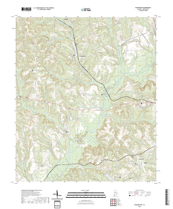
2024 Map of Youngblood
USGS Topo · Published 2024About this map
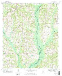
The Conecuh River flows through this corner of Pike County, where agricultural lands and wooded bottoms meet the northern outskirts of Troy. Small settlements like Youngblood, Hephzibah, and Shellhorn dot the landscape, connected by a network of county roads such as Co Hwy 25 and Co Hwy 22. The area is notably dense with family and community burial grounds, including the Israel Cemetery, Good Hope Cemetery, and Hillard and Howard Cemetery, providing significant points of interest for genealogical research in this part of Alabama. The northeast corner is marked by the presence of the Troy Municipal Airport, while the terrain rises toward Gibson Hill. The local hydrology is defined by numerous creek systems, such as Youngblood Creek, Boyds Mill Creek, and Jordan Creek, which feed into the primary river corridor.
Find a feature on this map
88 named features on this map. Tap any name to fly to it.
Don’t see what you’re looking for? This feature index may not catch every label — zoom into the map to look around manually.
Map Details
Editions of this 2024 Youngblood Map
This is the sole edition of this map. No revisions or reprints were ever made.
Historical Maps of Hephzibah Through Time
13 maps found
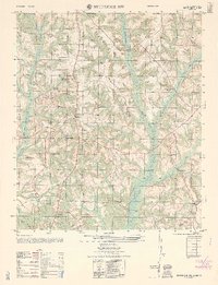
1960 Brundidge NW
Pike County, AL
1962 Brundidge NW
Pike County, AL
1968 Ansley
Pike County, AL
1968 Josie
Pike County, AL
1968 Needmore
Pike County, AL
1968 Saco
Pike County, AL
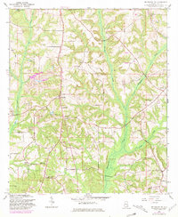
1968 Youngblood
Pike County, AL
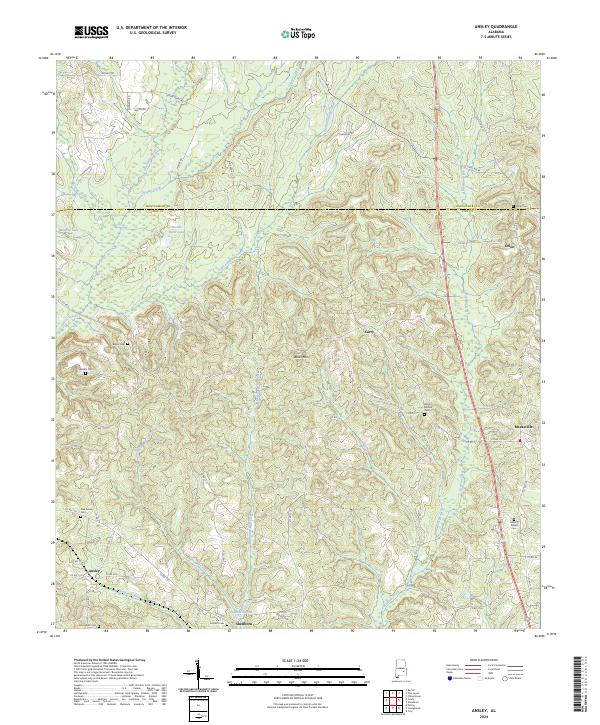
2024 Ansley
Pike County, AL
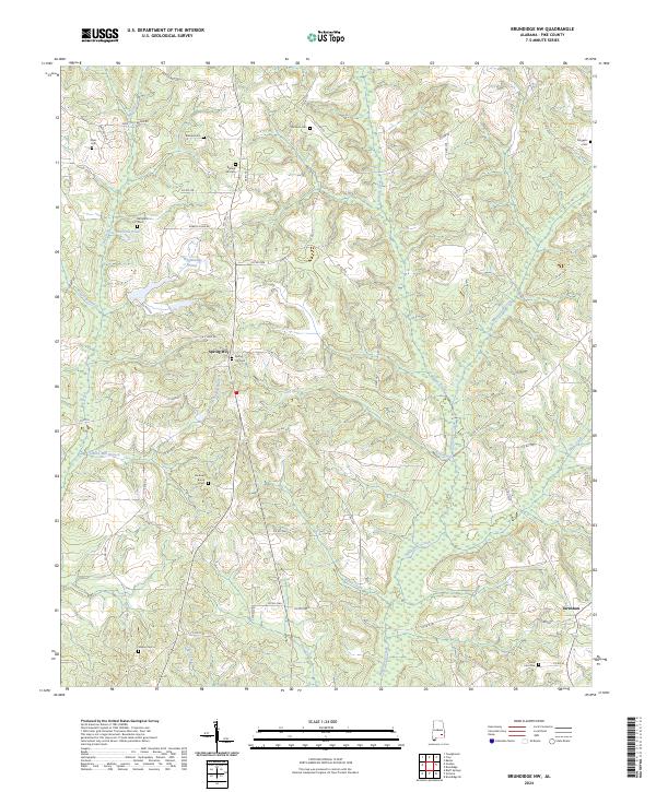
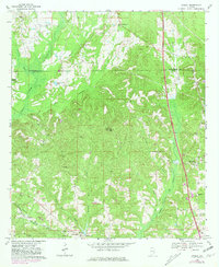
2024 Brundidge NW
Pike County, AL
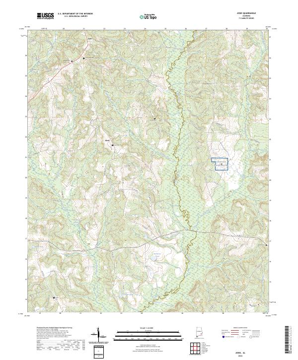
2024 Josie
Pike County, AL
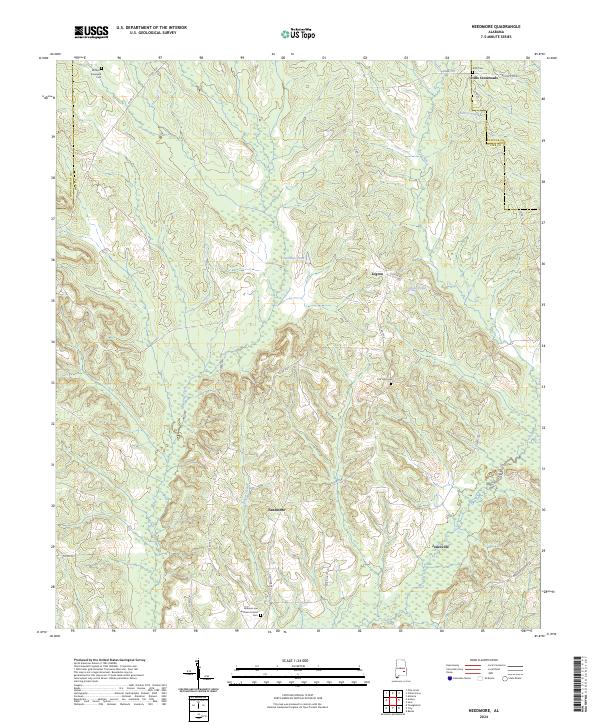
2024 Needmore
Pike County, AL
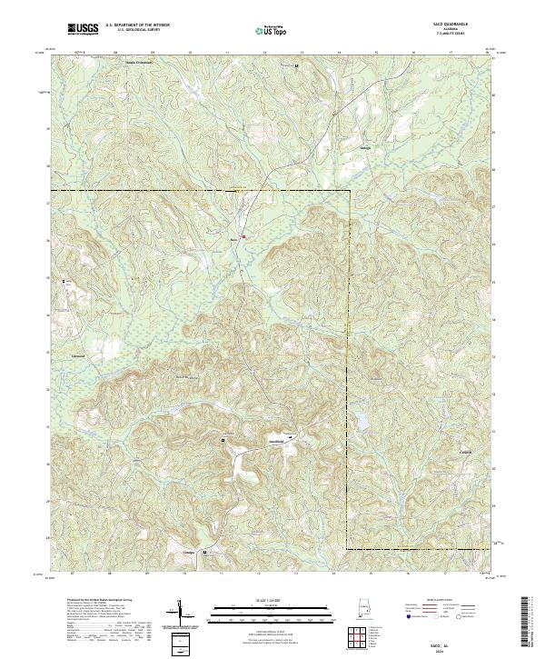
2024 Saco
Pike County, AL
2024 Youngblood
Pike County, AL