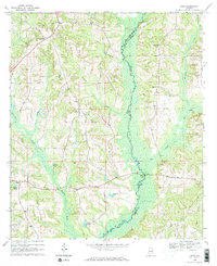
1968 Map of Josie
USGS Topo · Published 1971About this map
The Pea River carves a winding path along the border of Pike and Barbour Counties in this late 1960s Alabama landscape. The topography is defined by the sharp transition between the floodplains and the high ridges that hold the crossroads communities of Josie and Enon. Numerous family-named water features like Hardens Pond and Barbarees Pond suggest a rural economy reliant on small-scale impoundments and creek-fed bottomlands. Genealogy researchers can find significant sites like Old Ramah Cem and Loflin Cem situated near local landmarks such as Ramah Ch. The road network connects these scattered settlements via Hobeys Bridge, showing the rural infrastructure of Pike County before major modern expansions altered the local character.
Find a feature on this map
23 named features on this map. Tap any name to fly to it.
Don’t see what you’re looking for? This feature index may not catch every label — zoom into the map to look around manually.
Map Details
Editions of this 1968 Josie Map
2 editions found
Other maps of this area

1948 · Brundidge
USGS Topo · 1:62,500

1950 · Brundidge
USGS Topo · 1:62,500

1953 · Dothan
USGS Topo · 1:250,000

1954 · Dothan
USGS Topo · 1:250,000

1955 · Dothan
USGS Topo · 1:250,000

1960 · Brundidge
USGS Topo · 1:24,000

1962 · Brundidge
USGS Topo · 1:25,000

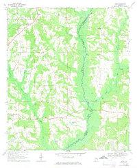
1968 · Perote
USGS Topo · 1:24,000

1968 · Louisville
USGS Topo · 1:24,000
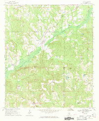
1968 · Saco
USGS Topo · 1:24,000