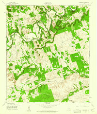
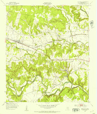
1958 Map of Youngsport
USGS Topo · Published 1961About this map
The Lampasas River meanders through the heart of this Central Texas landscape, defining the topography of the Youngsport area during the late 1950s. The terrain is characterized by prominent elevations such as Horse Thief Mountain, Paisano Peak, and Cedar Knob, which overlook the fertile bottomlands of Stillman Valley. This survey captures the rural infrastructure of the era, noting small social hubs like Cedar Knob Ch and Cedar Valley Ch, alongside the sprawling Solana Ranch. The water network is particularly detailed, featuring numerous water sources essential for ranching and settlement, including Buttermilk Creek, Underwood Spring, and Abbott Spring. Positioned along the border of Bell and Williamson counties, the map documents a transition from the limestone heights to the creek-fed valleys before major 20th-century developments altered the region's character.
Find a feature on this map
21 named features on this map. Tap any name to fly to it.
Don’t see what you’re looking for? This feature index may not catch every label — zoom into the map to look around manually.
Map Details
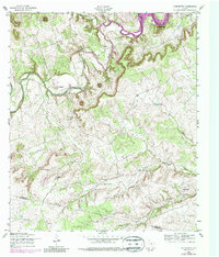
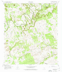
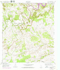
Editions of this 1958 Youngsport Map
4 editions found
Other maps of this area

1893 · Georgetown
USGS Topo · 1:125,000

1894 · Gatesville
USGS Topo · 1:125,000

1924 · Gatesville 4-d
USGS Topo · 1:48,000

1930 · Killeen
USGS Topo · 1:62,500

1947 · Fort Hood
USGS Topo · 1:62,500

1947 · Killeen
USGS Topo · 1:62,500

1947 · McMillan Mountains
USGS Topo · 1:24,000

1947 · Killeen
USGS Topo · 1:24,000
1947 · Nolanville
USGS Topo · 1:24,000

1954 · Waco
USGS Topo · 1:250,000