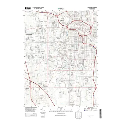
2013 Map of Youngstown
USGS Topo · Published 2013About this map
Youngstown serves as the central hub of this Mahoning County landscape, where the Mahoning River winds through industrial and residential districts including the East Side, South Side, and Brier Hill. The city's academic and athletic presence is anchored by Youngstown State Univ and Stambaugh Stadium. A significant ribbon of green space follows the course of Mill Creek through the heart of the city, connecting Lake Glacier, the Lily Pond, and Lake Cohasset before widening into Newport Lake to the south.
Find a feature on this map
70 named features on this map. Tap any name to fly to it.
Don’t see what you’re looking for? This feature index may not catch every label — zoom into the map to look around manually.
Map Details
Editions of this 2013 Youngstown Map
This is the sole edition of this map. No revisions or reprints were ever made.
Other maps of this area

1906 · Youngstown
USGS Topo · 1:62,500

1907 · Columbiana
USGS Topo · 1:62,500

1908 · Youngstown
USGS Topo · 1:62,500

1908 · Warren
USGS Topo · 1:62,500

1909 · Lisbon
USGS Topo · 1:62,500

1909 · Columbiana
USGS Topo · 1:62,500

1950 · Cleveland
USGS Topo · 1:250,000

1951 · Canton
USGS Topo · 1:250,000

1951 · Columbiana
USGS Topo · 1:24,000

1951 · Campbell
USGS Topo · 1:24,000