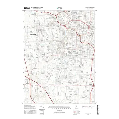
2016 Map of Youngstown
USGS Topo · Published 2016About this map
Youngstown and its sprawling urban reaches are defined by the Mahoning River and the extensive recreational lands of Mill Creek Park. This mid-2010s survey reveals a dense network of neighborhoods including Brier Hill, Fosterville, and Wickliffe, set against an industrial legacy represented by Ohio Works Dr. The academic heart of the city is centered at Youngstown State Univ on the North Side, while the landscape to the south and west transitions into established residential areas like Austintown and Canfield.
Find a feature on this map
272 named features on this map. Tap any name to fly to it.
Don’t see what you’re looking for? This feature index may not catch every label — zoom into the map to look around manually.
Map Details
Editions of this 2016 Youngstown Map
This is the sole edition of this map. No revisions or reprints were ever made.
Other maps of this area

1906 · Youngstown
USGS Topo · 1:62,500

1907 · Columbiana
USGS Topo · 1:62,500

1908 · Youngstown
USGS Topo · 1:62,500

1908 · Warren
USGS Topo · 1:62,500

1909 · Lisbon
USGS Topo · 1:62,500

1909 · Columbiana
USGS Topo · 1:62,500

1950 · Cleveland
USGS Topo · 1:250,000

1951 · Canton
USGS Topo · 1:250,000

1951 · Columbiana
USGS Topo · 1:24,000

1951 · Campbell
USGS Topo · 1:24,000