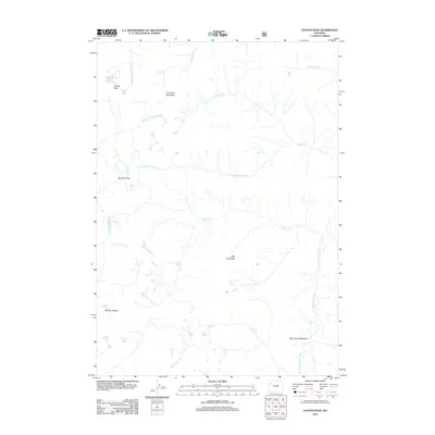
2012 Map of Younts Peak
USGS Topo · Published 2012About this map
Younts Peak and Thorofare Mountain dominate this high-elevation landscape where the headwaters of several major Western river systems originate. The terrain is defined by the continental divide's complex drainage patterns, with the N Fork Yellowstone River and S Fork Yellowstone River flowing toward the northwest, while the S Fork Shoshone River and Clark Cr carve paths to the east.
Find a feature on this map
19 named features on this map. Tap any name to fly to it.
Don’t see what you’re looking for? This feature index may not catch every label — zoom into the map to look around manually.
Map Details
Editions of this 2012 Younts Peak Map
This is the sole edition of this map. No revisions or reprints were ever made.
Other maps of this area

1893 · Ishawooa
USGS Topo · 1:125,000

1895 · Ishawooa
USGS Topo · 1:125,000

1899 · Ishawooa
USGS Topo · 1:125,000

1905 · Younts Peak
USGS Topo · 1:125,000

1907 · Younts Peak
USGS Topo · 1:125,000

1955 · Cody
USGS Topo · 1:250,000

1955 · Thermopolis
USGS Topo · 1:250,000

1956 · Shoshone Pass
USGS Topo · 1:24,000

1956 · Five Pockets
USGS Topo · 1:24,000
1956 · Dundee Meadows
USGS Topo · 1:24,000