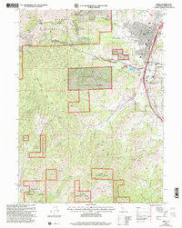
2001 Map of Yreka
USGS Topo · Published 2004About this map
The northern California landscape shown here is dominated by the complex terrain of the Klamath National Forest and the historic settlement of Yreka. Situated at the eastern edge of the forest, the town serves as a focal point where civil infrastructure like the Siskiyou County Courthouse and Evergreen Cemetery meet the steep drainage systems of the Klamath range. The map reveals a legacy of resource extraction, particularly evident in the Dredge Tailings along Yreka Creek and the presence of the Greenhorn Reservoir. This industrial history is framed by significant peaks such as Scarab Peak, Montana Peak, and Bally Mountain, which define the rugged horizon surrounding the city. The transition from the managed timberlands of the national forest to the developed urban core of the county seat highlights the area's dual identity as a center for both wilderness and governance at the turn of the 21st century.
Find a feature on this map
1 named feature on this map. Tap any name to fly to it.
Don’t see what you’re looking for? This feature index may not catch every label — zoom into the map to look around manually.
Map Details
Editions of this 2001 Yreka Map
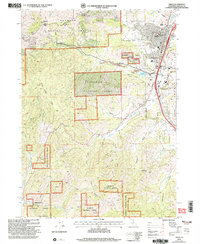
2 editions found
Other maps of this area

1886 · Shasta
USGS Topo · 1:250,000

1894 · Shasta
USGS Topo · 1:250,000

1922 · Shasta Valley Sheet No 3
USGS Topo · 1:24,000

1922 · Shasta Valley Sheet No 3 S
USGS Topo · 1:24,000

1932 · Yreka
USGS Topo · 1:96,000

1939 · Yreka
USGS Topo · 1:125,000

1948 · Weed
USGS Topo · 1:250,000

1950 · Weed
USGS Topo · 1:250,000

1954 · Yreka
USGS Topo · 1:62,500

1955 · Condrey Mtn
USGS Topo · 1:62,500