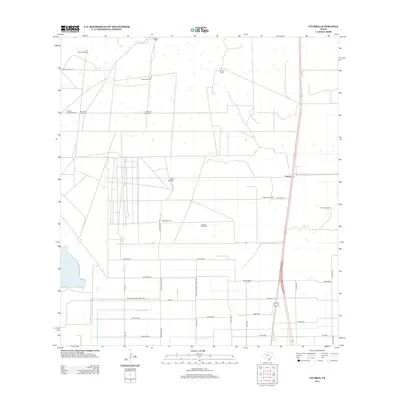
2013 Map of Yturria
USGS Topo · Published 2013About this map
The South Texas rangeland and agricultural grid dominate this landscape near the settlement of Yturria. The area is characterized by a network of ranching estates and critical water infrastructure, as evidenced by named landmarks like García Ranch, Thomas Ranch, and Esperanza Ranch. Because this is an arid environment, the map meticulously records numerous essential water sources including the Artesiano Windmill, Toro Melon Windmill, and La Sal Windmill.
Find a feature on this map
38 named features on this map. Tap any name to fly to it.
Don’t see what you’re looking for? This feature index may not catch every label — zoom into the map to look around manually.
Map Details
Editions of this 2013 Yturria Map
This is the sole edition of this map. No revisions or reprints were ever made.
Other maps of this area

1921 · Tarida Ranch
USGS Topo · 1:62,500

1922 · La Sal Vieja
USGS Topo · 1:62,500

1953 · Brownsville
USGS Topo · 1:250,000

1956 · Rudolph
USGS Topo · 1:24,000

1956 · Andrea Ranch
USGS Topo · 1:24,000

1956 · San Perlita South
USGS Topo · 1:24,000

1956 · Rosita Lake
USGS Topo · 1:24,000

1956 · La Sal Vieja
USGS Topo · 1:24,000

1956 · San Perlita North
USGS Topo · 1:24,000

1956 · Yturria
USGS Topo · 1:24,000