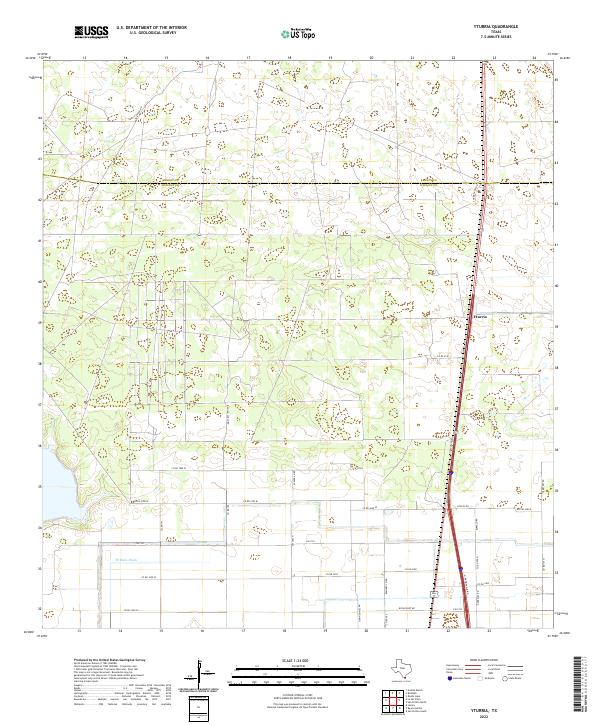
2022 Map of Yturria
USGS Topo · Published 2022About this map
Yturria serves as the primary focal point of this South Texas coastal plain survey, situated along the corridor of U.S. Route 77 and the N Frontage Rd. The landscape is defined by its transition between Kenedy and Willacy counties, where the land is partitioned into large agricultural tracts and ranches. Local heritage is visible in the network of family-named roads such as Garcia Ranch Rd, Thomas Ranch Rd, and Simon Gomez Rd, reflecting the deep-rooted ranching history of the Rio Grande Valley region. The southern portion of the map shows more intensive irrigation and drainage development, anchored by the W Main Drain and a grid of access roads including Cemetery Rd and Gonzales Rd. This area illustrates the specialized infrastructure required for farming in the semiarid brushlands of the Texas coast.
Find a feature on this map
34 named features on this map. Tap any name to fly to it.
Don’t see what you’re looking for? This feature index may not catch every label — zoom into the map to look around manually.
Map Details
Editions of this 2022 Yturria Map
This is the sole edition of this map. No revisions or reprints were ever made.
Other maps of this area

1921 · Tarida Ranch
USGS Topo · 1:62,500

1922 · La Sal Vieja
USGS Topo · 1:62,500

1953 · Brownsville
USGS Topo · 1:250,000

1956 · Rudolph
USGS Topo · 1:24,000

1956 · Andrea Ranch
USGS Topo · 1:24,000

1956 · San Perlita South
USGS Topo · 1:24,000

1956 · Rosita Lake
USGS Topo · 1:24,000

1956 · La Sal Vieja
USGS Topo · 1:24,000

1956 · San Perlita North
USGS Topo · 1:24,000

1956 · Yturria
USGS Topo · 1:24,000