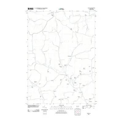
2010 Map of Yuba
USGS Topo · Published 2010About this map
The Pine River and its numerous tributaries, such as the West Branch Pine River and Indian Creek, carve a landscape of deep valleys and prominent ridges in this portion of Vernon County. Named terrain features like Saint Johns Ridge and Johnson Hill rise above the agricultural lowlands of Champion Valley and Greenwood Valley. This 2010 survey highlights a deeply rooted farming community, meticulously labeling generational family properties including the Spring Valley Stock and Grain Farm, Meadow Brook Farm, and the Rocky Hollow Homestead.
Find a feature on this map
87 named features on this map. Tap any name to fly to it.
Don’t see what you’re looking for? This feature index may not catch every label — zoom into the map to look around manually.
Map Details
Editions of this 2010 Yuba Map
This is the sole edition of this map. No revisions or reprints were ever made.
Other maps of this area

1905 · Richland Center
USGS Topo · 1:125,000

1926 · La Farge
USGS Topo · 1:62,500

1927 · Hillsboro
USGS Topo · 1:62,500

1933 · Boaz
USGS Topo · 1:62,500

1958 · La Crosse
USGS Topo · 1:250,000

1960 · Richland Center
USGS Topo · 1:62,500

1961 · La Crosse
USGS Topo · 1:250,000

1965 · La Crosse
USGS Topo · 1:250,000

1965 · La Farge
USGS Topo · 1:62,500

1966 · Hillsboro
USGS Topo · 1:62,500