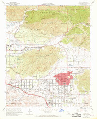
1967 Map of Yucaipa
USGS Topo · Published 1968About this map
Yucaipa Valley serves as the focal point for this 1960s study, revealing the dense residential and agricultural development between the San Bernardino National Forest and the Crafton Hills. The map documents a period of significant growth, showing the expanding street grids of Yucaipa, Calimesa, and Dunlap Acres. The transition from the alluvial landscape of the Santa Ana Wash to the steep elevations of Morton Peak and Cram Peak highlights the topographical constraints that shaped early settlement patterns.
Find a feature on this map
51 named features on this map. Tap any name to fly to it.
Don’t see what you’re looking for? This feature index may not catch every label — zoom into the map to look around manually.
Map Details
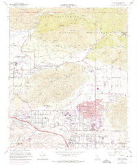
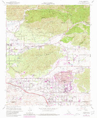
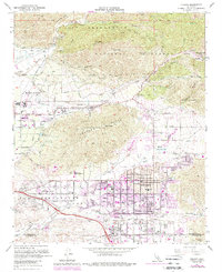
Editions of this 1967 Yucaipa Map
4 editions found
Other maps of this area

1899 · Redlands
USGS Topo · 1:62,500

1901 · Southern California Sheet No. 1
USGS Topo · 1:250,000

1901 · San Jacinto
USGS Topo · 1:125,000

1901 · Redlands
USGS Topo · 1:62,500

1901 · Elsinore
USGS Topo · 1:125,000

1902 · San Gorgonio
USGS Topo · 1:125,000

1904 · Southern California Sheet No. 1
USGS Topo · 1:250,000

1942 · Banning
USGS Topo · 1:62,500

1942 · Perris
USGS Topo · 1:62,500

1943 · Perris
USGS Topo · 1:62,500