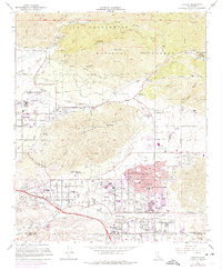
1967 Map of Yucaipa
USGS Topo · Published 1975About this map
The Yucaipa Valley and surrounding foothills are captured during a period of significant suburban expansion in the late 1960s and early 1970s. The map illustrates a complex water management infrastructure essential to this arid region, featuring percolation basins, the Crafton Reservoir, and numerous named canyons like Morton Creek and Zanja Creek. While the established centers of Mentone and Yucaipa show dense street grids, the purple map revisions highlight the rapid urban growth pushing into formerly open spaces near Calimesa and Dunlap Acres.
Find a feature on this map
62 named features on this map. Tap any name to fly to it.
Don’t see what you’re looking for? This feature index may not catch every label — zoom into the map to look around manually.
Map Details
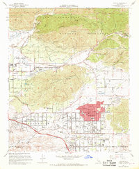
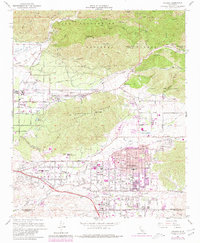
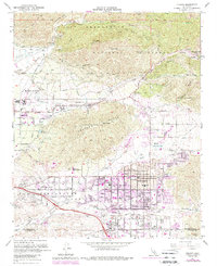
Editions of this 1967 Yucaipa Map
4 editions found
Other maps of this area

1899 · Redlands
USGS Topo · 1:62,500

1901 · Southern California Sheet No. 1
USGS Topo · 1:250,000

1901 · San Jacinto
USGS Topo · 1:125,000

1901 · Redlands
USGS Topo · 1:62,500

1901 · Elsinore
USGS Topo · 1:125,000

1902 · San Gorgonio
USGS Topo · 1:125,000

1904 · Southern California Sheet No. 1
USGS Topo · 1:250,000

1942 · Banning
USGS Topo · 1:62,500

1942 · Perris
USGS Topo · 1:62,500

1943 · Perris
USGS Topo · 1:62,500